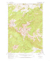
1950 Map of Spanish Peaks
USGS Topo · Published 1973About this map
The Madison Range dominates this mid-century survey, defining the high-altitude divide between the Gallatin National Forest and Beaverhead National Forest. This era of the landscape is marked by a network of isolated homesteads and wilderness outposts, including the Spanish Creek Ranch and Crail Ranch to the south. The mapping, compiled for the Bureau of Reclamation as part of the Missouri River Basin development, highlights the hydrological complexity of the peaks. A dense cluster of alpine water bodies like Lake Solitude, Thompson Lake, and Big Brother Lake feed the headwaters of Cherry Creek and the South Fork Cherry Creek. Notable landmarks such as the Andesite Lookout Tower and Spanish Creek Ranger Station reflect the federal oversight of these timberlands and watersheds during the late 1940s and early 1950s.
Find a feature on this map
80 named features on this map. Tap any name to fly to it.
Don’t see what you’re looking for? This feature index may not catch every label — zoom into the map to look around manually.
Map Details
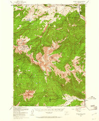
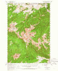
Editions of this 1950 Spanish Peaks Map
4 editions found
Other maps of this area

1888 · Three Forks
USGS Topo · 1:250,000

1894 · Three Forks
USGS Topo · 1:250,000

1895 · Three Forks
USGS Topo · 1:250,000

1947 · Bozeman
USGS Topo · 1:250,000

1948 · Bozeman
USGS Topo · 1:250,000

1949 · Anceney
USGS Topo · 1:62,500

1949 · Ennis
USGS Topo · 1:62,500

1949 · Norris
USGS Topo · 1:62,500

1950 · Cameron
USGS Topo · 1:62,500

1950 · Spanish Peaks
USGS Topo · 1:62,500
Featured Places
- Big Sky, MT
- Big Sky Mountain Village, MT
- Big Sky Canyon Village, MT
- Big Sky Meadow Village, MT
- Beacon Point, MT