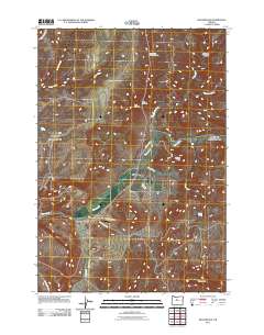
2011 Map of Willowdale
USGS Topo · Published 2011About this map
The settlement of Willowdale serves as a focal point in this high desert landscape, positioned along the transport corridor that follows the winding path of Trout Creek. The terrain is defined by dramatic erosional features, including the deep cuts of Deadman Canyon, Cow Canyon, and Bull Canyon, while prominent elevations like Friends Peak and the geological formation known as The Flatirons provide distinct landmarks across the horizon.
Find a feature on this map
24 named features on this map. Tap any name to fly to it.
Don’t see what you’re looking for? This feature index may not catch every label — zoom into the map to look around manually.
Map Details
Editions of this 2011 Willowdale Map
This is the sole edition of this map. No revisions or reprints were ever made.
Other maps of this area

1928 · Madras
USGS Topo · 1:125,000

1931 · Madras
USGS Topo · 1:125,000

1955 · Bend
USGS Topo · 1:250,000

1957 · Bend
USGS Topo · 1:250,000

1958 · Bend
USGS Topo · 1:250,000
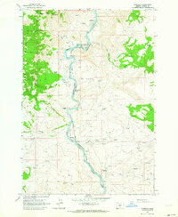
1962 · Kaskela
USGS Topo · 1:24,000

1962 · Gateway
USGS Topo · 1:24,000
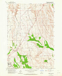
1963 · Madras East
USGS Topo · 1:24,000

1966 · Willowdale
USGS Topo · 1:62,500

1968 · Ashwood
USGS Topo · 1:24,000