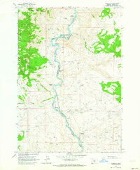
1962 Map of Kaskela
USGS Topo · Published 1964About this map
The Deschutes River carves a deep path through this canyon landscape, serving as a critical transport corridor where the Spokane Portland and Seattle and Oregon Trunk railroads converge. The river's western bank forms the boundary of the Warm Springs Indian Reservation, with the Mutton Mountains rising sharply from the water's edge. Named settlements like Kaskela, North Junction (Davidson), and Axford appear as small hubs along the rail lines, reflecting the area's historical reliance on these transcontinental connections.
Find a feature on this map
30 named features on this map. Tap any name to fly to it.
Don’t see what you’re looking for? This feature index may not catch every label — zoom into the map to look around manually.
Map Details
Editions of this 1962 Kaskela Map
2 editions found
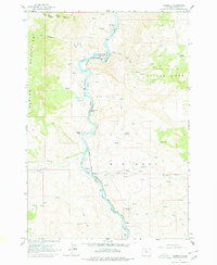
Other maps of this area

1928 · Madras
USGS Topo · 1:125,000

1930 · Dufur
USGS Topo · 1:125,000

1931 · Madras
USGS Topo · 1:125,000

1934 · Dufur
USGS Topo · 1:125,000

1953 · The Dalles
USGS Topo · 1:250,000

1955 · Bend
USGS Topo · 1:250,000

1956 · The Dalles
USGS Topo · 1:250,000

1957 · Bend
USGS Topo · 1:250,000

1957 · The Dalles
USGS Topo · 1:250,000

1958 · Bend
USGS Topo · 1:250,000