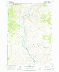
1962 Map of Kaskela
USGS Topo · Published 1978About this map
The Deschutes River carves a deep path through this canyon landscape, serving as the primary corridor for the Spokane Portland and Seattle Ry and defining the eastern boundary of the Warm Springs Indian Reservation. The topographic detail reveals a network of natural springs and creeks, such as Antoken Creek and Skookum Creek, which sustain the small settlements and isolated outposts scattered along the riverbank.
Find a feature on this map
26 named features on this map. Tap any name to fly to it.
Don’t see what you’re looking for? This feature index may not catch every label — zoom into the map to look around manually.
Map Details
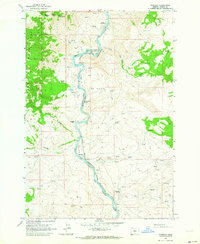
Editions of this 1962 Kaskela Map
2 editions found
Other maps of this area

1928 · Madras
USGS Topo · 1:125,000

1930 · Dufur
USGS Topo · 1:125,000

1931 · Madras
USGS Topo · 1:125,000

1934 · Dufur
USGS Topo · 1:125,000

1953 · The Dalles
USGS Topo · 1:250,000

1955 · Bend
USGS Topo · 1:250,000

1956 · The Dalles
USGS Topo · 1:250,000

1957 · Bend
USGS Topo · 1:250,000

1957 · The Dalles
USGS Topo · 1:250,000

1958 · Bend
USGS Topo · 1:250,000