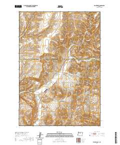
2020 Map of Willowdale
USGS Topo · Published 2020About this map
Willowdale serves as the primary settlement hub in this High Desert landscape, situated where the Trout Cr drainage meets the main highway corridor. The geography is defined by a complex system of drainages and named canyons, including Baker Canyon, Gate Spring Canyon, and the prominent Bull Canyon. These natural corridors have long dictated movement through the Wasco and Jefferson county line area, as seen in the route of NE Old US Hwy 97.
Find a feature on this map
33 named features on this map. Tap any name to fly to it.
Don’t see what you’re looking for? This feature index may not catch every label — zoom into the map to look around manually.
Map Details
Editions of this 2020 Willowdale Map
This is the sole edition of this map. No revisions or reprints were ever made.
Other maps of this area

1928 · Madras
USGS Topo · 1:125,000

1931 · Madras
USGS Topo · 1:125,000

1955 · Bend
USGS Topo · 1:250,000

1957 · Bend
USGS Topo · 1:250,000

1958 · Bend
USGS Topo · 1:250,000
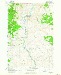
1962 · Kaskela
USGS Topo · 1:24,000

1962 · Gateway
USGS Topo · 1:24,000
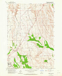
1963 · Madras East
USGS Topo · 1:24,000

1966 · Willowdale
USGS Topo · 1:62,500

1968 · Ashwood
USGS Topo · 1:24,000