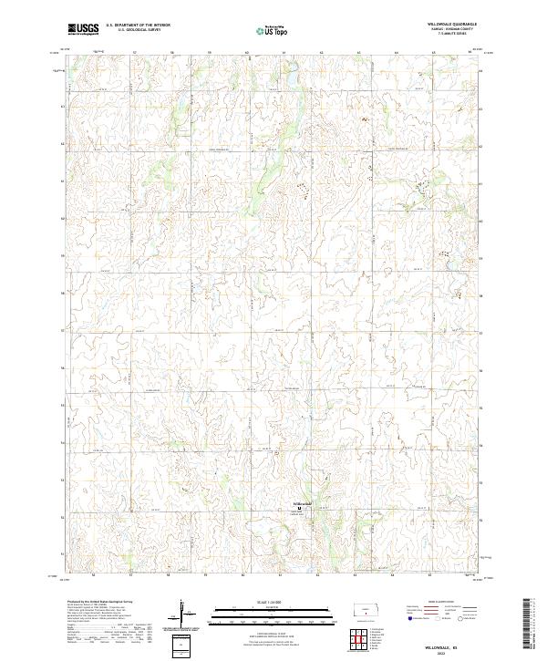
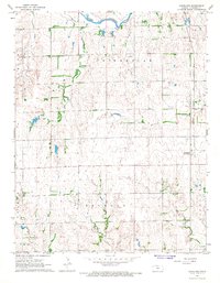
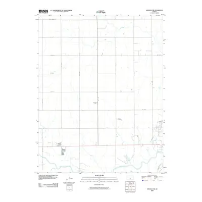
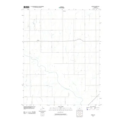
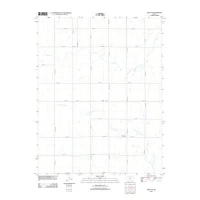
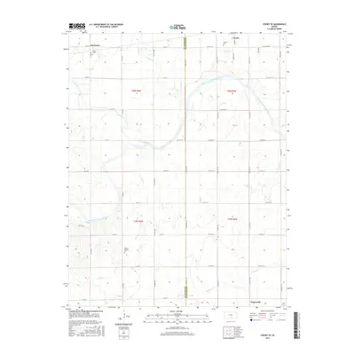
2022 Map of Willowdale
USGS Topo · Published 2022About this map
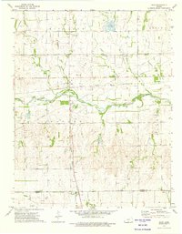
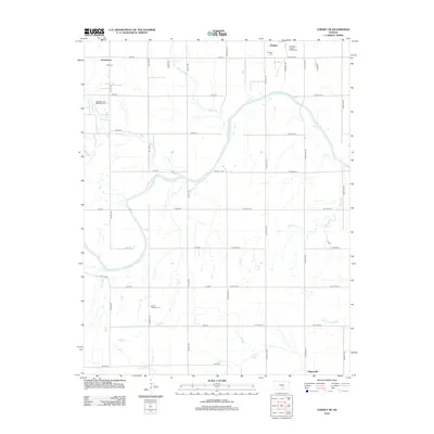
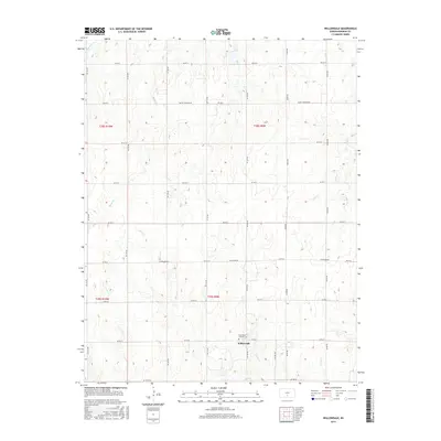
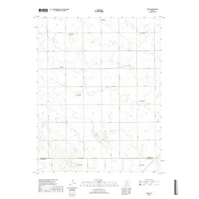
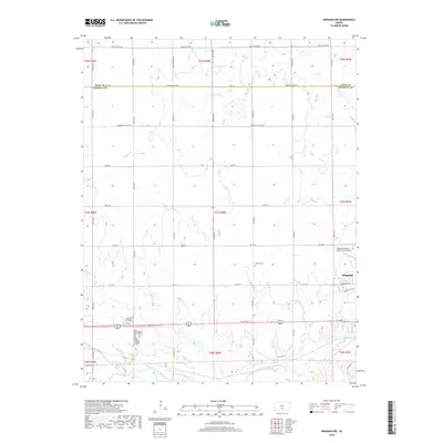
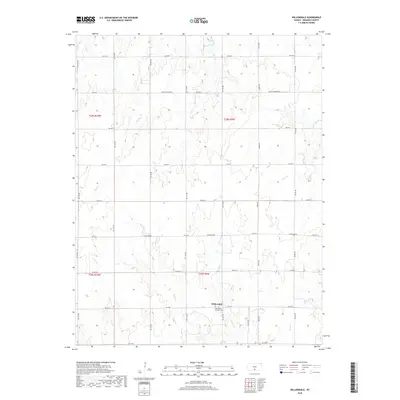
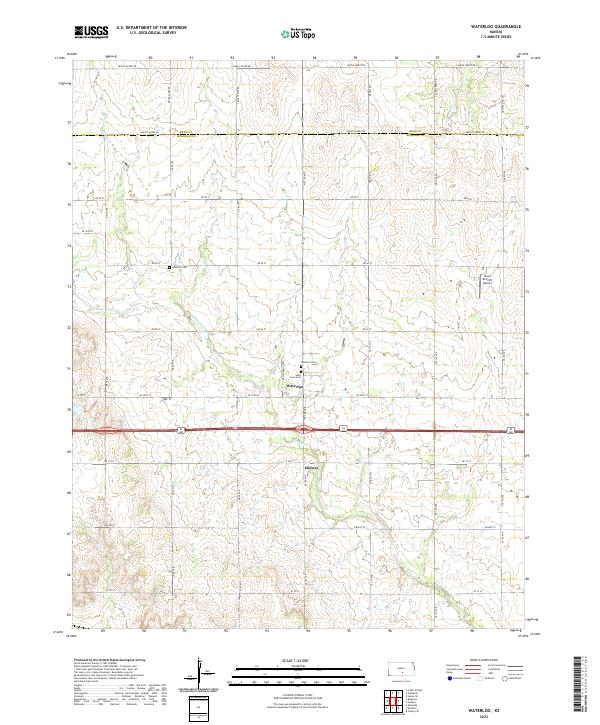
Willowdale serves as the quiet anchor of this agricultural landscape in Kingman County, defined by a rectilinear grid of section-line roads and a network of wandering prairie streams. The settlement is tightly clustered near the Saint Peter Catholic Cem, which stands as a significant landmark for local history and genealogy. The terrain is deeply inscribed by the drainage patterns of several seasonal and permanent waterways, including Mead Cr and Pat Cr in the north, and Allen Cr which winds through the southern townships.
Find a feature on this map
34 named features on this map. Tap any name to fly to it.
Don’t see what you’re looking for? This feature index may not catch every label — zoom into the map to look around manually.
Map Details
Editions of this 2022 Willowdale Map
This is the sole edition of this map. No revisions or reprints were ever made.
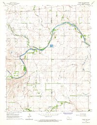
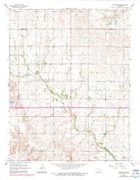
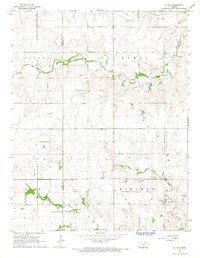
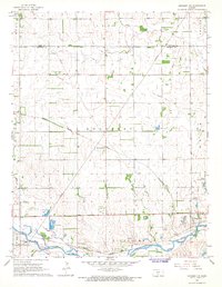
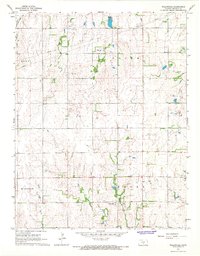
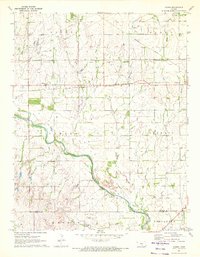
Historical Maps of Willowdale Through Time
54 maps found
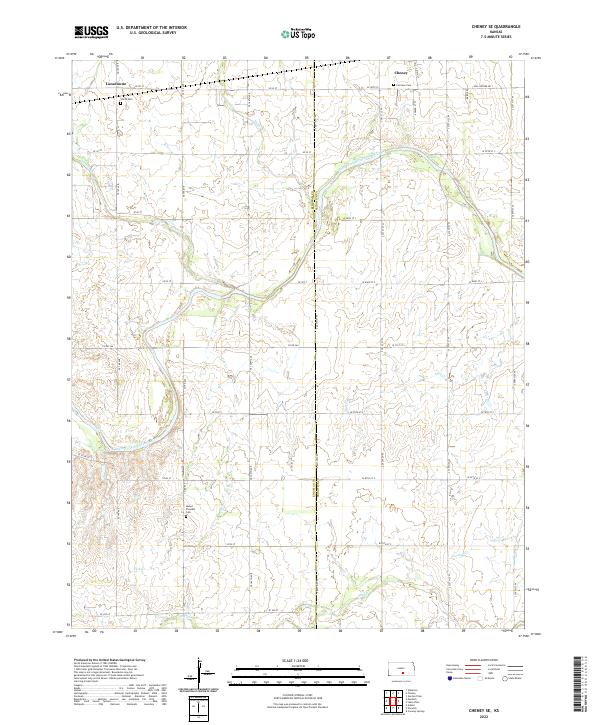
1965 Cheney SE
Kingman County, KS
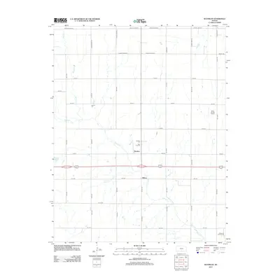
1965 Waterloo
Kingman County, KS
1966 St Leo
Kingman County, KS

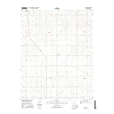
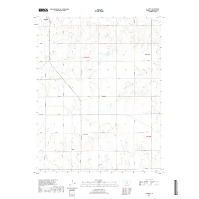
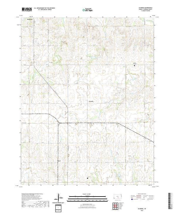
1967 Alameda
Kingman County, KS
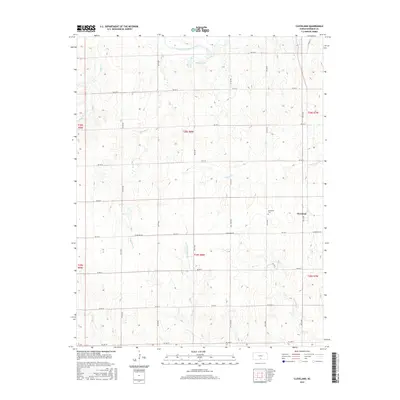
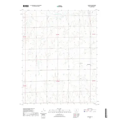
1967 Cleveland
Kingman County, KS
1967 Kingman NW
Kingman County, KS
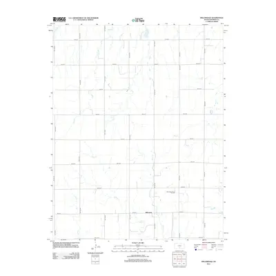
1967 Willowdale
Kingman County, KS
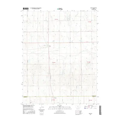
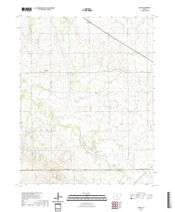
1971 Adams
Kingman County, KS
1973 Rago
Kingman County, KS
2009 Alameda
Kingman County, KS
2009 Cheney SE
Kingman County, KS
2009 Cleveland
Kingman County, KS
2009 Kingman NW
Kingman County, KS
2009 Saint Leo
Kingman County, KS
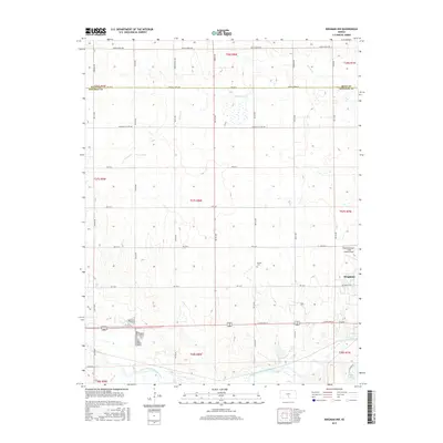
2009 Waterloo
Kingman County, KS
2009 Willowdale
Kingman County, KS
2010 Adams
Kingman County, KS
2010 Rago
Kingman County, KS
2012 Adams
Kingman County, KS
2012 Alameda
Kingman County, KS
2012 Cheney SE
Kingman County, KS
2012 Cleveland
Kingman County, KS
2012 Kingman NW
Kingman County, KS
2012 Rago
Kingman County, KS
2012 Saint Leo
Kingman County, KS
2012 Waterloo
Kingman County, KS
2012 Willowdale
Kingman County, KS
2015 Adams
Kingman County, KS
2015 Cheney SE
Kingman County, KS
2015 Kingman NW
Kingman County, KS
2015 Saint Leo
Kingman County, KS
2015 Waterloo
Kingman County, KS
2015 Willowdale
Kingman County, KS
2016 Alameda
Kingman County, KS
2016 Cleveland
Kingman County, KS
2016 Rago
Kingman County, KS
2018 Adams
Kingman County, KS
2018 Alameda
Kingman County, KS
2018 Cheney SE
Kingman County, KS
2018 Cleveland
Kingman County, KS
2018 Kingman NW
Kingman County, KS
2018 Rago
Kingman County, KS
2018 Saint Leo
Kingman County, KS
2018 Waterloo
Kingman County, KS
2018 Willowdale
Kingman County, KS
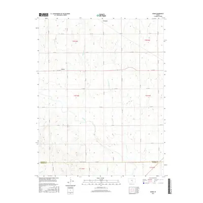
2022 Adams
Kingman County, KS
2022 Alameda
Kingman County, KS
2022 Cheney SE
Kingman County, KS
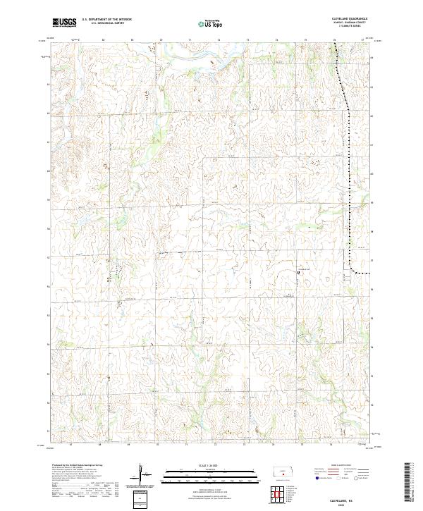
2022 Cleveland
Kingman County, KS
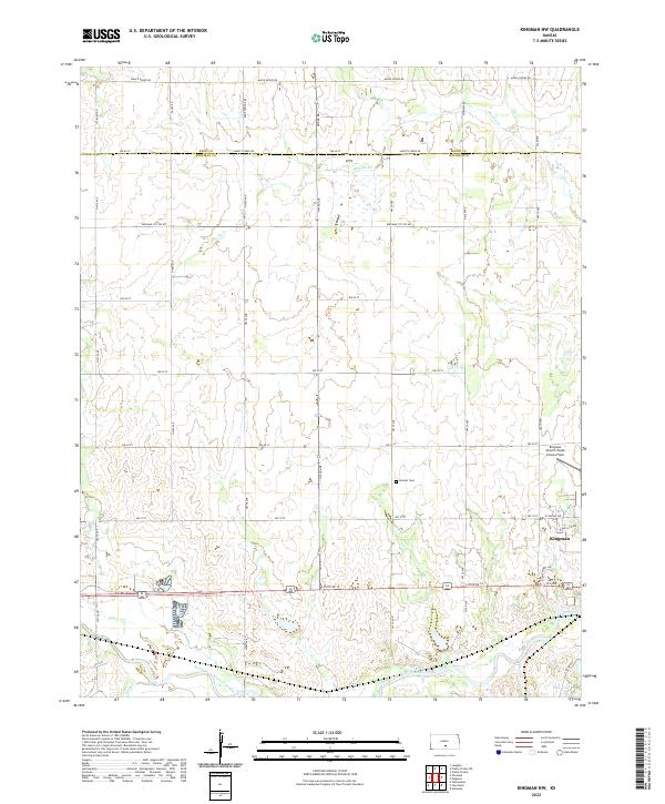
2022 Kingman NW
Kingman County, KS
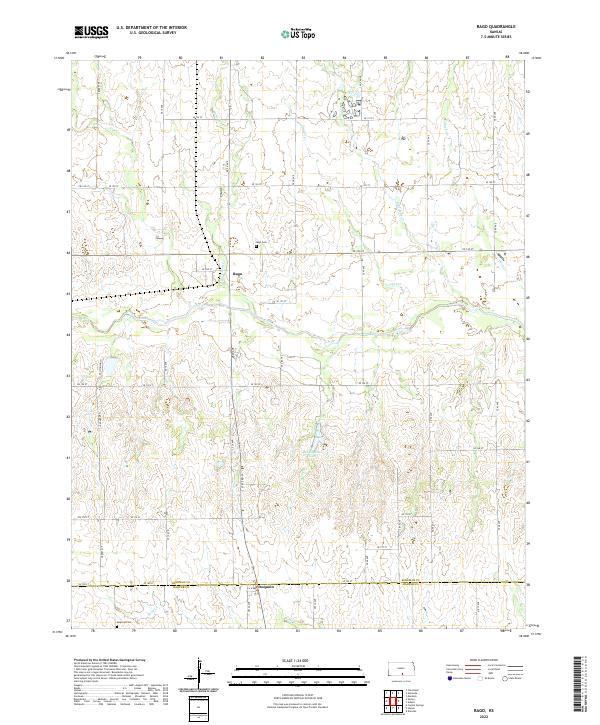
2022 Rago
Kingman County, KS
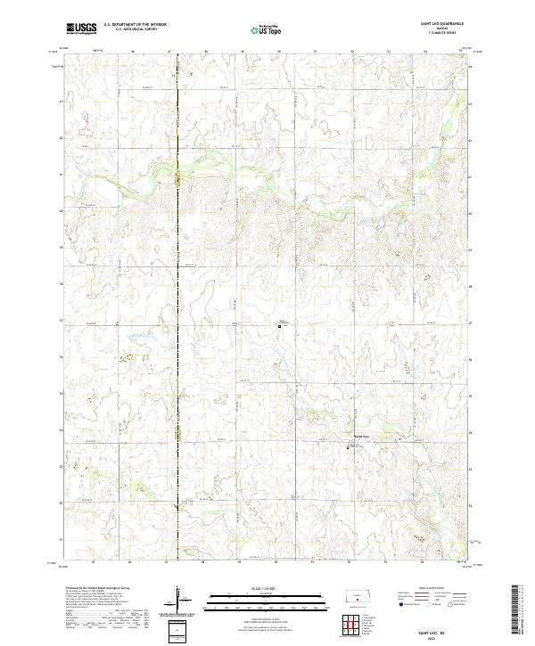
2022 Saint Leo
Kingman County, KS
2022 Waterloo
Kingman County, KS
2022 Willowdale
Kingman County, KS