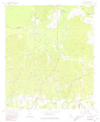
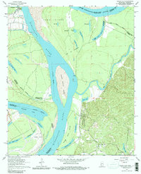
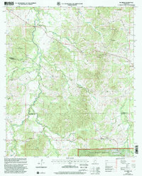
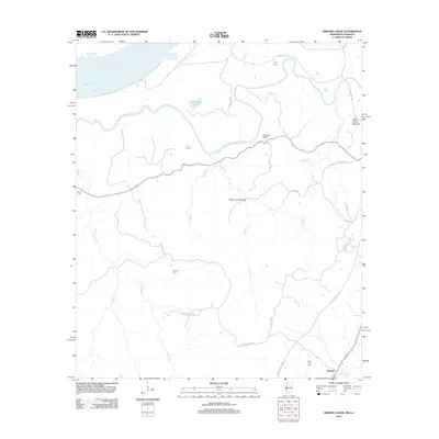
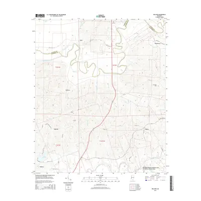
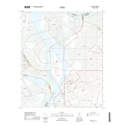
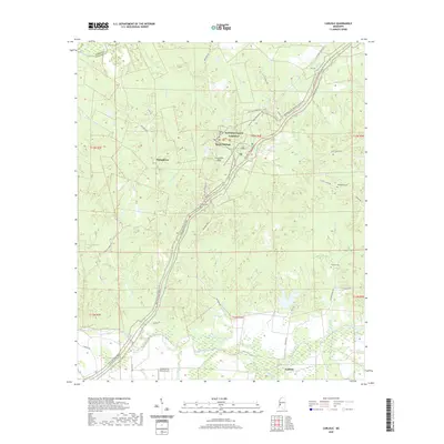
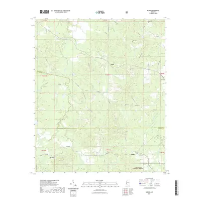
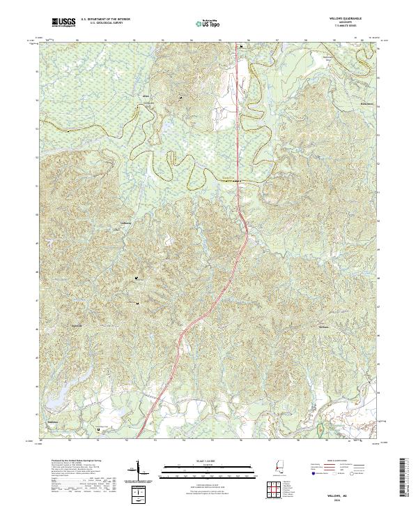
1963 Map of Willows
USGS Topo · Published 1981About this map
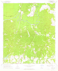
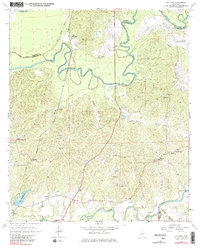
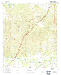
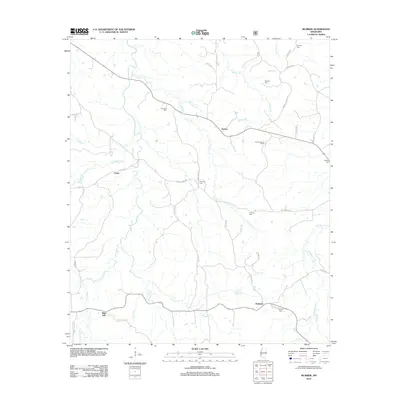
The Big Black River snakes across this Mississippi landscape, defining the boundary between Warren and Claiborne counties in the early 1960s. The settlement patterns reflect a rural economy tied to the land and the Illinois Central railroad, which runs north to south through Galloway and Ingleside. This map is particularly notable for its high density of community landmarks, including uniquely named churches such as Little Come and See Ch and Burnstand Ch.
Find a feature on this map
39 named features on this map. Tap any name to fly to it.
Don’t see what you’re looking for? This feature index may not catch every label — zoom into the map to look around manually.
Map Details
Editions of this 1963 Willows Map
3 editions found
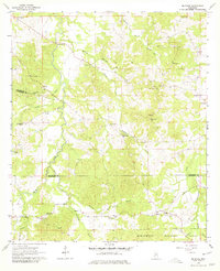
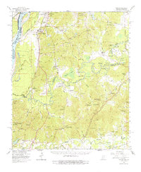
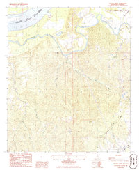
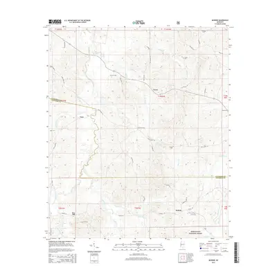
Historical Maps of Allen Through Time
32 maps found
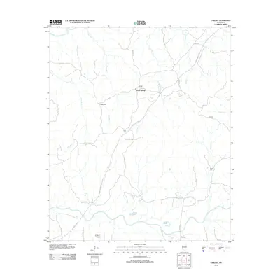
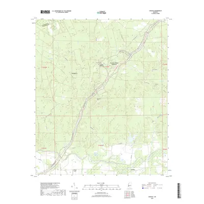
1963 Carlisle
Claiborne County, MS
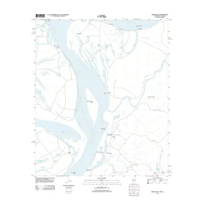
1963 Grand Gulf
Claiborne County, MS
1963 McBride
Claiborne County, MS
1963 Willows
Claiborne County, MS
1966 Yokena
Claiborne County, MS
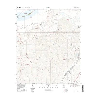
1986 Widows Creek
Claiborne County, MS
2000 McBride
Claiborne County, MS
2012 Carlisle
Claiborne County, MS
2012 Grand Gulf
Claiborne County, MS
2012 McBride
Claiborne County, MS
2012 Widows Creek
Claiborne County, MS
2012 Willows
Claiborne County, MS
2015 Carlisle
Claiborne County, MS
2015 Grand Gulf
Claiborne County, MS
2015 McBride
Claiborne County, MS
2015 Widows Creek
Claiborne County, MS
2015 Willows
Claiborne County, MS
2018 Carlisle
Claiborne County, MS
2018 Grand Gulf
Claiborne County, MS
2018 McBride
Claiborne County, MS
2018 Widows Creek
Claiborne County, MS
2018 Willows
Claiborne County, MS
2020 Carlisle
Claiborne County, MS
2020 Grand Gulf
Claiborne County, MS
2020 Widows Creek
Claiborne County, MS
2020 Willows
Claiborne County, MS
2021 McBride
Claiborne County, MS
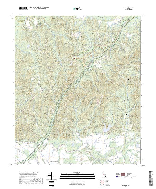
2024 Carlisle
Claiborne County, MS
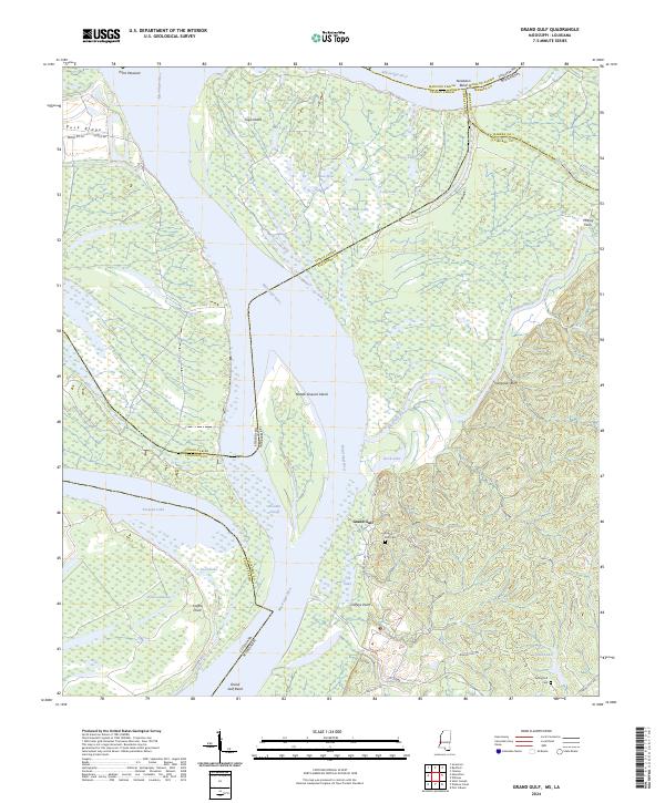
2024 Grand Gulf
Claiborne County, MS
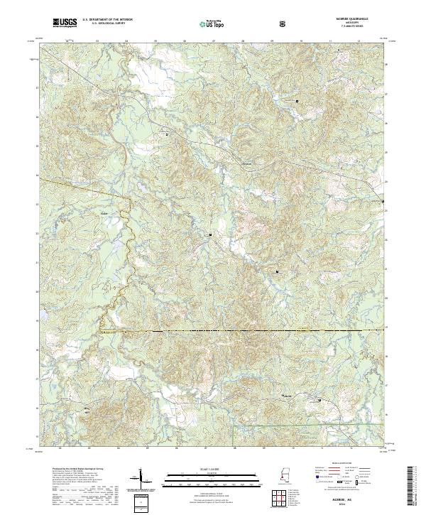
2024 McBride
Claiborne County, MS
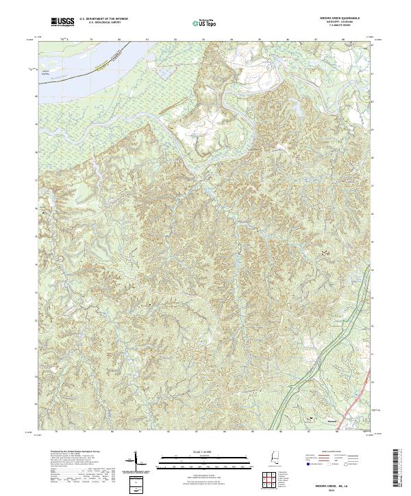
2024 Widows Creek
Claiborne County, MS
2024 Willows
Claiborne County, MS