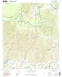
1963 Map of Willows
USGS Topo · Published 1981About this map
The Big Black River meanders sharply through the landscape along the border of Warren and Claiborne counties, defining a region of dense creek networks and scattered rural settlements. Small communities like Allen (Nanachehaw), Galloway, and Willows are connected by the tracks of the Illinois Central railroad and the Natchez Trace Parkway. The map reveals a deeply rooted local geography marked by family names and spiritual life, including the Little Come and See Ch No 2, Shiloh Ch, and the Old Savoy Cem.
Find a feature on this map
39 named features on this map. Tap any name to fly to it.
Don’t see what you’re looking for? This feature index may not catch every label — zoom into the map to look around manually.
Map Details
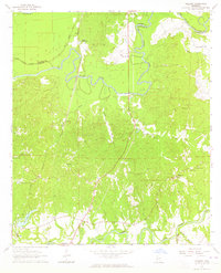
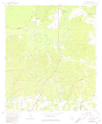
Editions of this 1963 Willows Map
3 editions found
Other maps of this area

1939 · Yokena
USGS Topo · 1:62,500

1939 · Lorman
USGS Topo · 1:62,500

1953 · Natchez
USGS Topo · 1:250,000

1955 · Jackson
USGS Topo · 1:250,000

1956 · Natchez
USGS Topo · 1:250,000

1958 · St. Joseph
USGS Topo · 1:62,500

1959 · Natchez
USGS Topo · 1:250,000

1961 · Jackson
USGS Topo · 1:250,000

1962 · Jackson
USGS Topo · 1:250,000

1963 · Carlisle
USGS Topo · 1:24,000