
1943 Map of Willsboro
USGS Topo · Published 1943About this map
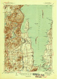
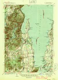
Lake Champlain dominates this 1943 survey, serving as the geographic anchor for the lakeside communities of Willsboro, Essex, and Charlotte. The topography is defined by the sharp rise of the Adirondack State Park mountains, including Trembleau Mtn and Rattlesnake Mtn, which frame the deep waters of Willsboro Bay. The map captures a vital transportation network where the Delaware and Hudson railroad traces the western shore and the Rutland line serves the Vermont side, connected by a ferry crossing at McNeil Bay. Local life is recorded through numerous small district institutions like Ryan Sch and Brookfield Sch, while the presence of the Craterclub and various named points like Ligonier Pt suggest the era's established waterfront culture and seasonal residency patterns along the New York-Vermont border.
Find a feature on this map
111 named features on this map. Tap any name to fly to it.
Don’t see what you’re looking for? This feature index may not catch every label — zoom into the map to look around manually.
Map Details
Editions of this 1943 Willsboro Map
3 editions found
Other maps of this area

1894 · Elizabethtown
USGS Topo · 1:62,500

1894 · Port Henry
USGS Topo · 1:62,500

1894 · Plattsburg
USGS Topo · 1:62,500

1895 · Willsboro
USGS Topo · 1:62,500

1895 · Elizabethtown
USGS Topo · 1:62,500

1895 · Ausable
USGS Topo · 1:62,500

1898 · Port Henry
USGS Topo · 1:62,500

1901 · Elizabethtown
USGS Topo · 1:62,500

1903 · Ausable
USGS Topo · 1:62,500

1903 · Middlebury
USGS Topo · 1:62,500