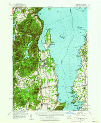
1956 Map of Willsboro
USGS Topo · Published 1962About this map
The Bouquet River meanders through the central valley of this landscape, separating the high peaks of Adirondack State Park from the intricate shoreline of Lake Champlain. This mid-century topography illustrates the complex relationship between the rail-dependent hamlets and the rising leisure economy of the lake. The Delaware and Hudson RR tracks parallel the coast, connecting settlements like Whallonsburg and Willsboro, while the Rutland RR serves the Vermont shore near Charlotte.
Find a feature on this map
106 named features on this map. Tap any name to fly to it.
Don’t see what you’re looking for? This feature index may not catch every label — zoom into the map to look around manually.
Map Details
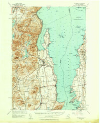
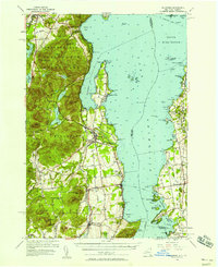
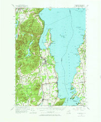
Editions of this 1956 Willsboro Map
4 editions found
Other maps of this area

1894 · Elizabethtown
USGS Topo · 1:62,500

1894 · Port Henry
USGS Topo · 1:62,500

1894 · Plattsburg
USGS Topo · 1:62,500

1895 · Willsboro
USGS Topo · 1:62,500

1895 · Elizabethtown
USGS Topo · 1:62,500

1895 · Ausable
USGS Topo · 1:62,500

1898 · Port Henry
USGS Topo · 1:62,500

1901 · Elizabethtown
USGS Topo · 1:62,500

1903 · Ausable
USGS Topo · 1:62,500

1903 · Middlebury
USGS Topo · 1:62,500