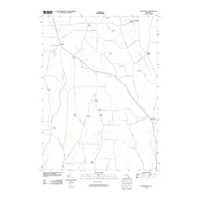
2010 Map of Willseyville
USGS Topo · Published 2010About this map
Danby and the surrounding rural hamlets of South Danby, Willseyville, and Caroline Depot characterize this corner of the Southern Tier. The landscape is defined by its significant upland terrain, featuring prominent peaks such as Steventown Hill, Durfee Hill, and Eastman Hill. These ridges are interspersed with valley drainages like Buttermilk Creek and Willseyville Creek, creating a pattern of settlement where farms and small communities are tucked into the lower elevations while the Danby State Forest occupies much of the higher, forested ground.
Find a feature on this map
65 named features on this map. Tap any name to fly to it.
Don’t see what you’re looking for? This feature index may not catch every label — zoom into the map to look around manually.
Map Details
Editions of this 2010 Willseyville Map
This is the sole edition of this map. No revisions or reprints were ever made.
Other maps of this area

1893 · Ithaca
USGS Topo · 1:62,500

1895 · Ithaca
USGS Topo · 1:62,500

1900 · Dryden
USGS Topo · 1:62,500

1902 · Waverly
USGS Topo · 1:62,500

1903 · Owego
USGS Topo · 1:62,500

1905 · Watkins Glen
USGS Topo · 1:125,000

1906 · Catatonk
USGS Topo · 1:125,000

1949 · Ithaca West
USGS Topo · 1:24,000

1949 · Ithaca East
USGS Topo · 1:24,000

1949 · Willseyville
USGS Topo · 1:24,000