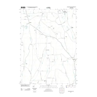
2013 Map of Willseyville
USGS Topo · Published 2013About this map
Danby and the surrounding rural uplands define this landscape in the early 21st century, where narrow valleys and high ridges dictate the local road network. The map reveals a high concentration of burial grounds that mark the heritage of early families, including the Adams Settlement Cem, the Fisher Settlement Cem, and the unique Michael Handy Farm Cem near South Danby. These sites, along with the Green And Mettler Cem, offer significant clues for genealogists tracking the migration and settlement patterns of this corner of New York.
Find a feature on this map
87 named features on this map. Tap any name to fly to it.
Don’t see what you’re looking for? This feature index may not catch every label — zoom into the map to look around manually.
Map Details
Editions of this 2013 Willseyville Map
This is the sole edition of this map. No revisions or reprints were ever made.
Other maps of this area

1893 · Ithaca
USGS Topo · 1:62,500

1895 · Ithaca
USGS Topo · 1:62,500

1900 · Dryden
USGS Topo · 1:62,500

1902 · Waverly
USGS Topo · 1:62,500

1903 · Owego
USGS Topo · 1:62,500

1905 · Watkins Glen
USGS Topo · 1:125,000

1906 · Catatonk
USGS Topo · 1:125,000

1949 · Ithaca West
USGS Topo · 1:24,000

1949 · Ithaca East
USGS Topo · 1:24,000

1949 · Willseyville
USGS Topo · 1:24,000