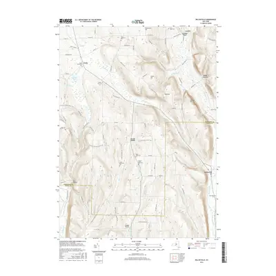
2016 Map of Willseyville
USGS Topo · Published 2016About this map
Danby and South Danby anchor this southern New York landscape where the border of Tompkins Co and Tioga Co cuts through the high ground. The terrain is defined by prominent elevations like Steventown Hill, Durfee Hill, and Eastman Hill, which separate several small creek valleys. For genealogists and local historians, the sheet is exceptionally detailed with family-named burial sites and historic landmarks, including the Adams Settlement Cem, Fisher Settlement Cem, and the Michael Handy Farm Cem. These locations, along with the settlement of Crum Town and the waters of Jennings Pond, illustrate the early 21st-century character of these upland communities. Transportation routes and recreational paths, such as the N Country National Scenic Trail, wind through the topography, connecting the hamlets of Caroline Depot and Willseyville to the surrounding hills and ridges.
Find a feature on this map
84 named features on this map. Tap any name to fly to it.
Don’t see what you’re looking for? This feature index may not catch every label — zoom into the map to look around manually.
Map Details
Editions of this 2016 Willseyville Map
This is the sole edition of this map. No revisions or reprints were ever made.
Other maps of this area

1893 · Ithaca
USGS Topo · 1:62,500

1895 · Ithaca
USGS Topo · 1:62,500

1900 · Dryden
USGS Topo · 1:62,500

1902 · Waverly
USGS Topo · 1:62,500

1903 · Owego
USGS Topo · 1:62,500

1905 · Watkins Glen
USGS Topo · 1:125,000

1906 · Catatonk
USGS Topo · 1:125,000

1949 · Ithaca West
USGS Topo · 1:24,000

1949 · Ithaca East
USGS Topo · 1:24,000

1949 · Willseyville
USGS Topo · 1:24,000