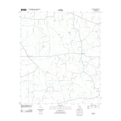
2012 Map of Wilmer
USGS Topo · Published 2012About this map
The Tchefuncte River winds southward through this portion of Tangipahoa Parish, defining a landscape marked by a dense network of family-named cemeteries and rural roads. Settlements like Wilmer and Stoney Point serve as focal points in a territory where the local geography is closely tied to lineage, as evidenced by the high concentration of burial sites such as Brumfield Cem, Sylvest Cem, and Pasman Cem. Numerous small watercourses, including Chappapeela Cr and Hamilton Cr, drain the region's low-lying areas, while features like Brushy Hollow offer variation in the local topography. This early 21st-century documentation illustrates a transition from traditional agricultural patterns to more modern road configurations, yet the placement of features like Casper Lea Cem and Dyson Cem maintains a direct link to the area's genealogical roots and settlement history.
Find a feature on this map
120 named features on this map. Tap any name to fly to it.
Don’t see what you’re looking for? This feature index may not catch every label — zoom into the map to look around manually.
Map Details
Editions of this 2012 Wilmer Map
This is the sole edition of this map. No revisions or reprints were ever made.
Other maps of this area

1939 · Sunny Hill
USGS Topo · 1:31,680

1939 · Clifton
USGS Topo · 1:31,680

1940 · Spring Creek
USGS Topo · 1:31,680

1942 · Husser
USGS Topo · 1:31,680

1942 · Wilmer
USGS Topo · 1:31,680

1942 · Loranger
USGS Topo · 1:31,680

1949 · Bolivar
USGS Topo · 1:31,680

1950 · Folsom
USGS Topo · 1:31,680

1950 · Franklinton
USGS Topo · 1:31,680

1954 · Folsom
USGS Topo · 1:62,500