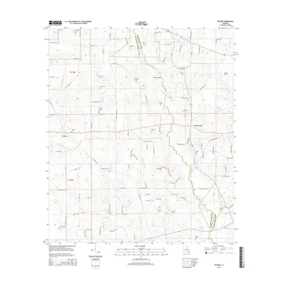
2015 Map of Wilmer
USGS Topo · Published 2015About this map
The Tchefuncte River meanders southward along the boundary of Washington and Tangipahoa Parishes, anchoring a landscape defined by small rural settlements and family estates. The community of Wilmer is positioned in the western reaches, while Stoney Point sits further east, connected by a network of local roads such as Highway 440 and Cecil Painter Rd. The area is notably dense with family-named burial grounds, including the Brumfield, McDaniel, and Graham cemeteries, reflecting generations of local land ownership.
Find a feature on this map
125 named features on this map. Tap any name to fly to it.
Don’t see what you’re looking for? This feature index may not catch every label — zoom into the map to look around manually.
Map Details
Editions of this 2015 Wilmer Map
This is the sole edition of this map. No revisions or reprints were ever made.
Other maps of this area

1939 · Sunny Hill
USGS Topo · 1:31,680

1939 · Clifton
USGS Topo · 1:31,680

1940 · Spring Creek
USGS Topo · 1:31,680

1942 · Husser
USGS Topo · 1:31,680

1942 · Wilmer
USGS Topo · 1:31,680

1942 · Loranger
USGS Topo · 1:31,680

1949 · Bolivar
USGS Topo · 1:31,680

1950 · Folsom
USGS Topo · 1:31,680

1950 · Franklinton
USGS Topo · 1:31,680

1954 · Folsom
USGS Topo · 1:62,500