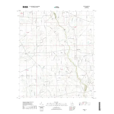
2018 Map of Wilmer
USGS Topo · Published 2018About this map
Tchefuncte River winds along the boundary between Tangipahoa and Washington Parishes, defining the drainage patterns of this rural Louisiana landscape. The area is characterized by a network of creek branches and hollows, such as Brumfield Hollow and Brushy Hollow, which feed into larger arteries like Chappapeela Cr and Taylor Cr. Small settlements including Wilmer and Stoney Point serve as focal points for a community connected by a dense grid of parish and family-named roads.
Find a feature on this map
121 named features on this map. Tap any name to fly to it.
Don’t see what you’re looking for? This feature index may not catch every label — zoom into the map to look around manually.
Map Details
Editions of this 2018 Wilmer Map
This is the sole edition of this map. No revisions or reprints were ever made.
Other maps of this area

1939 · Sunny Hill
USGS Topo · 1:31,680

1939 · Clifton
USGS Topo · 1:31,680

1940 · Spring Creek
USGS Topo · 1:31,680

1942 · Husser
USGS Topo · 1:31,680

1942 · Wilmer
USGS Topo · 1:31,680

1942 · Loranger
USGS Topo · 1:31,680

1949 · Bolivar
USGS Topo · 1:31,680

1950 · Folsom
USGS Topo · 1:31,680

1950 · Franklinton
USGS Topo · 1:31,680

1954 · Folsom
USGS Topo · 1:62,500