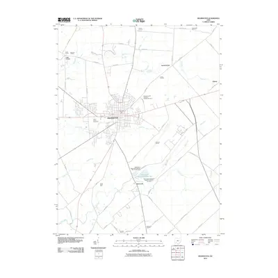
2010 Map of Wilmington
USGS Topo · Published 2010About this map
Wilmington serves as the focal point of this Clinton County landscape, where the traditional layout of the town meets modern infrastructure. The central grid of the community is anchored by the Wilmington Post Office and the nearby Clinton County Fairgrounds. To the southeast, the massive footprint of the Airborne Airpark signifies the area's role in transportation and logistics, a significant evolution from the agricultural roots visible in outlying areas. The rural geography is defined by a series of creeks, including Todd Fork to the north and Cowan Creek to the south. Several small, scattered settlements like Starbucktown, Little Center, and Burtonville persist alongside numerous family and community burial grounds such as Dover Cemetery and Gaddis Cemetery, providing essential landmarks for genealogists tracking local ancestry. Water management is prominent through features like the Wilmington Reservoir Number Two and its associated dam systems.
Find a feature on this map
59 named features on this map. Tap any name to fly to it.
Don’t see what you’re looking for? This feature index may not catch every label — zoom into the map to look around manually.
Map Details
Editions of this 2010 Wilmington Map
This is the sole edition of this map. No revisions or reprints were ever made.
Other maps of this area

1907 · Blanchester
USGS Topo · 1:62,500

1916 · Octa
USGS Topo · 1:62,500

1917 · Xenia
USGS Topo · 1:62,500

1917 · Sabina
USGS Topo · 1:62,500

1943 · Sabina
USGS Topo · 1:62,500

1944 · Octa
USGS Topo · 1:62,500

1947 · Columbus
USGS Topo · 1:250,000

1955 · New Burlington
USGS Topo · 1:24,000

1955 · Port William
USGS Topo · 1:24,000

1960 · Martinsville
USGS Topo · 1:24,000