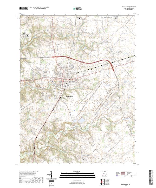
2023 Map of Wilmington
USGS Topo · Published 2023About this map
The Clinton County Courthouse stands as the central landmark of Wilmington, a town defined by its grid of residential streets and the sprawling campus of Wilmington College. This contemporary 2023 survey illustrates the area's ongoing development, characterized by the large-scale industrial footprint of the Wilmington Air Park to the southeast. Outside the city limits, the landscape transitions into a network of rural townships where small settlements like Little Center, Starbucktown, and Burtonville persist alongside family-named landmarks.
Find a feature on this map
126 named features on this map. Tap any name to fly to it.
Don’t see what you’re looking for? This feature index may not catch every label — zoom into the map to look around manually.
Map Details
Editions of this 2023 Wilmington Map
This is the sole edition of this map. No revisions or reprints were ever made.
Other maps of this area

1907 · Blanchester
USGS Topo · 1:62,500

1916 · Octa
USGS Topo · 1:62,500

1917 · Xenia
USGS Topo · 1:62,500

1917 · Sabina
USGS Topo · 1:62,500

1943 · Sabina
USGS Topo · 1:62,500

1944 · Octa
USGS Topo · 1:62,500

1947 · Columbus
USGS Topo · 1:250,000

1955 · New Burlington
USGS Topo · 1:24,000

1955 · Port William
USGS Topo · 1:24,000

1960 · Martinsville
USGS Topo · 1:24,000