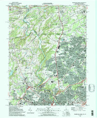
1993 Map of Wilmington North
USGS Topo · Published 1993About this map
Brandywine Creek meanders through a landscape defined by industrial legacy and preserved estates in this early 1990s survey of the Delaware-Pennsylvania borderlands. The map highlights the sprawling grounds of the Winterthur Museum and Gardens and the Hagley Museum, marking a corridor where early American industry transitioned into cultural conservation. Significant institutional footprints are visible throughout, including the Du Pont Experimental Station and the Alfred I duPont Institute, reflecting the region's historical ties to the DuPont family.
Find a feature on this map
146 named features on this map. Tap any name to fly to it.
Don’t see what you’re looking for? This feature index may not catch every label — zoom into the map to look around manually.
Map Details
Editions of this 1993 Wilmington North Map
2 editions found
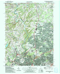
Other maps of this area

1890 · Salem
USGS Topo · 1:62,500

1894 · Chester
USGS Topo · 1:62,500

1896 · Chester
USGS Topo · 1:62,500

1898 · Salem
USGS Topo · 1:62,500

1898 · Chester
USGS Topo · 1:62,500

1901 · Camden
USGS Topo · 1:125,000

1901 · West Chester
USGS Topo · 1:62,500

1904 · West Chester
USGS Topo · 1:62,500

1904 · Wilmington
USGS Topo · 1:62,500

1906 · Wilmington
USGS Topo · 1:62,500