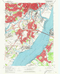
1967 Map of Wilmington South
USGS Topo · Published 1969About this map
Industrial and suburban expansion define the corridor between Wilmington and New Castle in the late 1960s. The Delaware River serves as the central artery for commerce, spanned by the Delaware Memorial Bridges connecting to Pennsville in New Jersey. The landscape is a dense network of transit and community infrastructure, where the Penn Central, Reading RR, and Baltimore and Ohio RR tracks weave through residential developments like Wilmington Manor and Collins Park.
Find a feature on this map
105 named features on this map. Tap any name to fly to it.
Don’t see what you’re looking for? This feature index may not catch every label — zoom into the map to look around manually.
Map Details
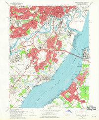
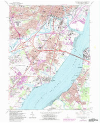
Editions of this 1967 Wilmington South Map
3 editions found
Other maps of this area

1890 · Salem
USGS Topo · 1:62,500

1894 · Chester
USGS Topo · 1:62,500

1896 · Chester
USGS Topo · 1:62,500

1898 · Salem
USGS Topo · 1:62,500

1898 · Chester
USGS Topo · 1:62,500

1901 · Camden
USGS Topo · 1:125,000

1901 · West Chester
USGS Topo · 1:62,500

1904 · West Chester
USGS Topo · 1:62,500

1904 · Wilmington
USGS Topo · 1:62,500

1906 · Wilmington
USGS Topo · 1:62,500