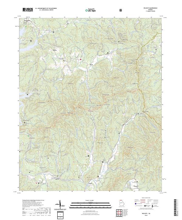
2024 Map of Wilscot
USGS Topo · Published 2024About this map
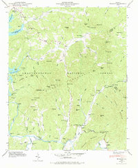
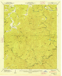
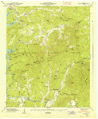
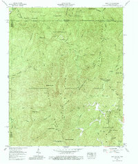
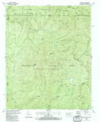
The Toccoa River winds through the southern reaches of this Fannin County landscape, anchoring a network of small settlements including Dial and Swan. This portion of the Chattahoochee National Forest is defined by a dense concentration of family burial grounds and country churches, such as the Morganton Methodist Church Cem and the Chastain Cem, which provide significant data for genealogical research. The high ridges of Wilscot Mtn and Payne Mtn dictate the local travel patterns, with routes like the Benton Mackaye Trl following the natural contours of the mountain gaps. The transition from the more established town of Morganton in the northwest to the rugged interior near Skeenah Gap illustrates the persistent rural character of these north Georgia highlands, where scattered homesteads and small family plots like the Nix Family Cem remain the primary indicators of historical occupancy.
Find a feature on this map
175 named features on this map. Tap any name to fly to it.
Don’t see what you’re looking for? This feature index may not catch every label — zoom into the map to look around manually.
Map Details
Editions of this 2024 Wilscot Map
This is the sole edition of this map. No revisions or reprints were ever made.
Historical Maps of Dial Through Time
16 maps found
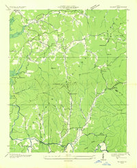
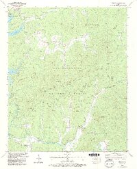
1935 Hemp Top
Fannin County, GA
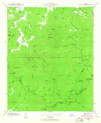
1935 Lake Toccoa
Fannin County, GA
1935 Noontootla
Fannin County, GA
1935 Wilscot
Fannin County, GA
1946 Noontootla
Fannin County, GA
1946 Wilscot
Fannin County, GA
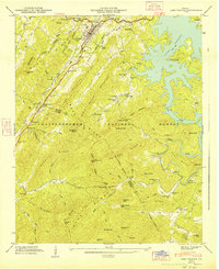
1947 Lake Toccoa
Fannin County, GA
1947 Noontootla
Fannin County, GA
1947 Wilscot
Fannin County, GA
1959 Hemp Top
Fannin County, GA
1988 Hemp Top
Fannin County, GA

1988 Noontootla
Fannin County, GA
1988 Wilscot
Fannin County, GA
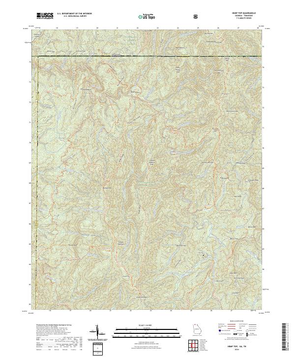
2024 Hemp Top
Fannin County, GA
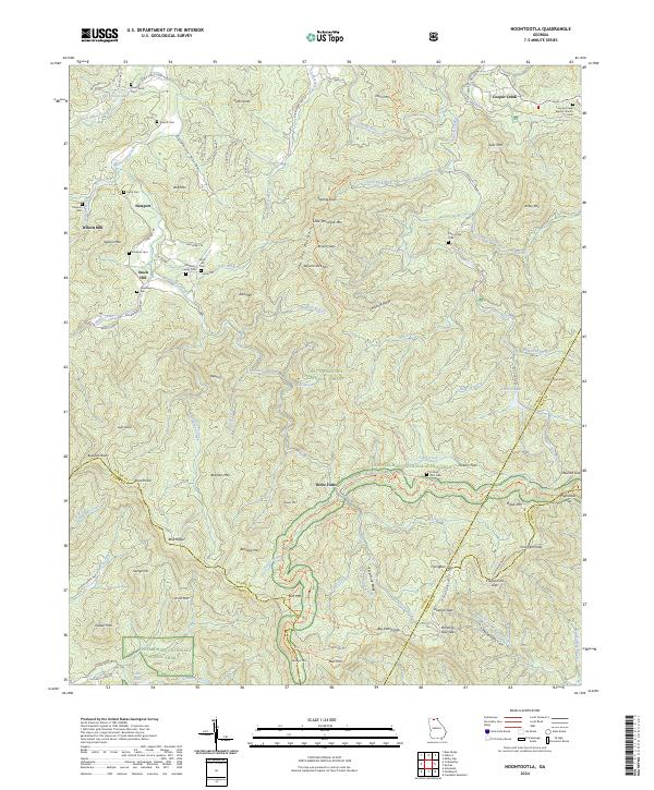
2024 Noontootla
Fannin County, GA
2024 Wilscot
Fannin County, GA