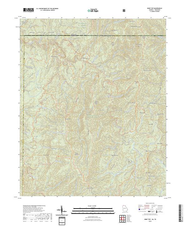
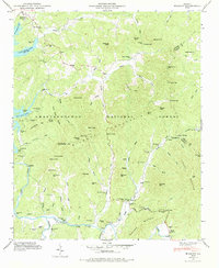
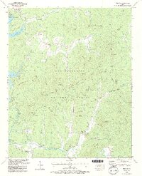
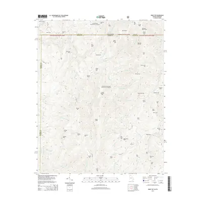
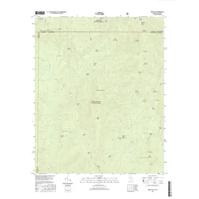
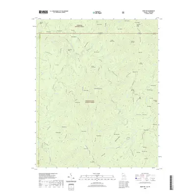
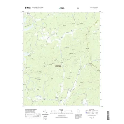
2024 Map of Hemp Top
USGS Topo · Published 2024About this map
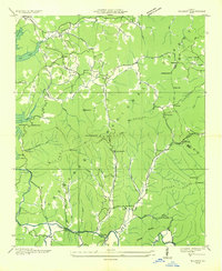
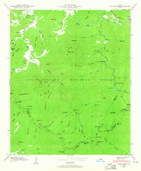
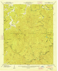
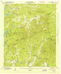
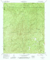
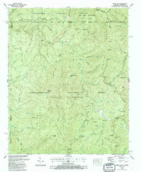
The Tennessee Valley Divide snakes through the high ridges of the Southern Appalachians, where the state lines of Georgia and Tennessee meet in a landscape defined by deep river valleys and high gaps. This 2024 survey illustrates the complex drainage of the Jacks River and Conasauga Creek, highlighting the network of historic paths like the Benton MacKaye Trl and East Cowpen Trl that navigate the ridges. The area is characterized by large protected tracts including the Cohutta Wilderness and the Big Frog Wilderness, where elevation changes are sharp between landmarks like Hemp Top and the Alaculsy Valley.
Find a feature on this map
109 named features on this map. Tap any name to fly to it.
Don’t see what you’re looking for? This feature index may not catch every label — zoom into the map to look around manually.
Map Details
Editions of this 2024 Hemp Top Map
This is the sole edition of this map. No revisions or reprints were ever made.
Historical Maps of Murray County Through Time
28 maps found
1935 Hemp Top
Fannin County, GA
1935 Lake Toccoa
Fannin County, GA
1935 Noontootla
Fannin County, GA
1935 Wilscot
Fannin County, GA
1946 Noontootla
Fannin County, GA
1946 Wilscot
Fannin County, GA
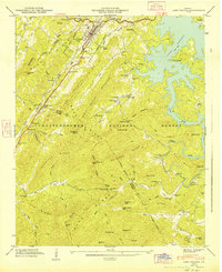
1947 Lake Toccoa
Fannin County, GA
1947 Noontootla
Fannin County, GA
1947 Wilscot
Fannin County, GA
1959 Hemp Top
Fannin County, GA
1988 Hemp Top
Fannin County, GA

1988 Noontootla
Fannin County, GA
1988 Wilscot
Fannin County, GA
2011 Hemp Top
Fannin County, GA
2011 Noontootla
Fannin County, GA
2011 Wilscot
Fannin County, GA
2014 Hemp Top
Fannin County, GA
2014 Noontootla
Fannin County, GA
2014 Wilscot
Fannin County, GA
2017 Hemp Top
Fannin County, GA
2017 Noontootla
Fannin County, GA
2017 Wilscot
Fannin County, GA
2020 Hemp Top
Fannin County, GA
2020 Noontootla
Fannin County, GA
2020 Wilscot
Fannin County, GA
2024 Hemp Top
Fannin County, GA
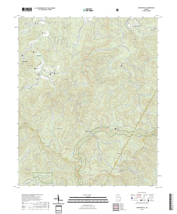
2024 Noontootla
Fannin County, GA
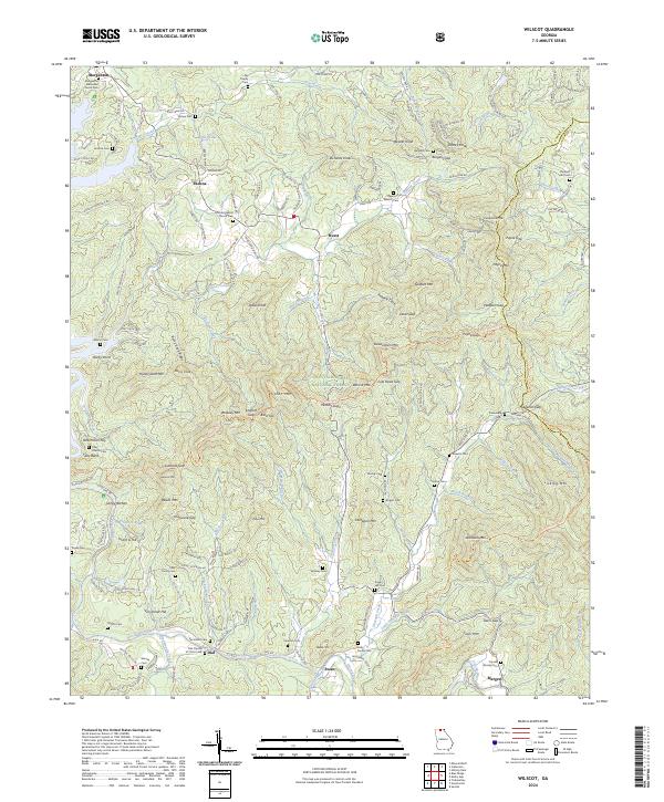
2024 Wilscot
Fannin County, GA