Loading...
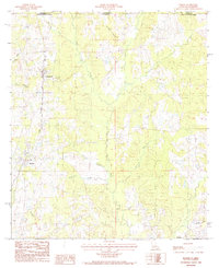
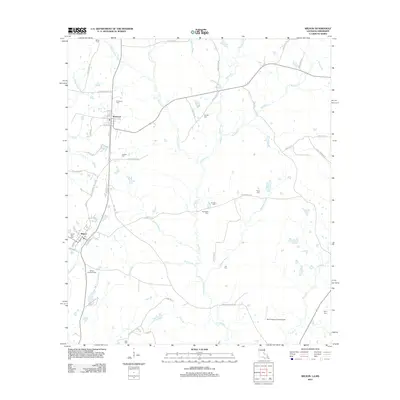
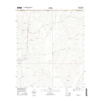
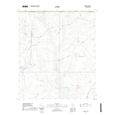
Loading map...1985 Map of Wilson
USGS Topo · Published 1985About this map
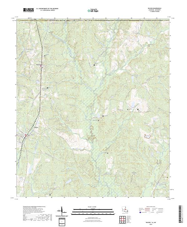
Norwood and Wilson anchor this mid-1980s landscape along the border of Louisiana and Mississippi. The area is defined by a dense network of watercourses, including the Comite River and numerous tributaries like Beecham Bayou and Richland Creek. The North-South alignment of the Illinois Central Gulf railroad line represents the primary industrial corridor, connecting these rural settlements and dictating the local development pattern.
Find a feature on this map
20 named features on this map. Tap any name to fly to it.
Don’t see what you’re looking for? This feature index may not catch every label — zoom into the map to look around manually.
Map Details
Date Portrayed1985
Date Published1985
PublisherU.S. Geological Survey
Map TypeTopographic
Scale1:24,000
Physical Dimensions21.9 x 26.9 inches
Editions of this 1985 Wilson Map
This is the sole edition of this map. No revisions or reprints were ever made.
Historical Maps of Clinton Through Time
6 maps found
Featured Locations
Source Details
SourceU.S. Geological Survey
CopyrightPublic Domain