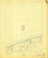
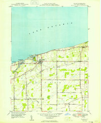
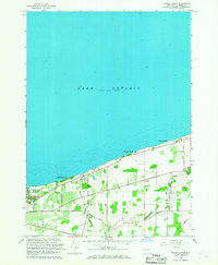
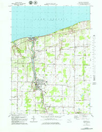
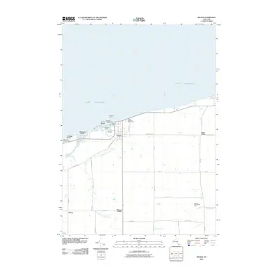
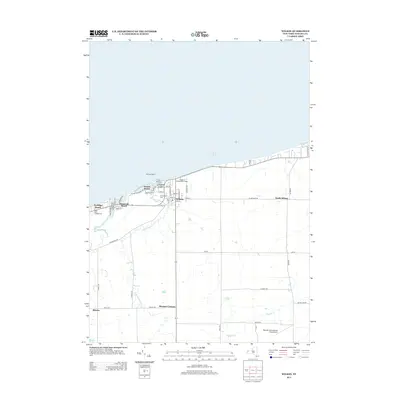
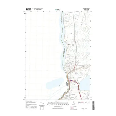
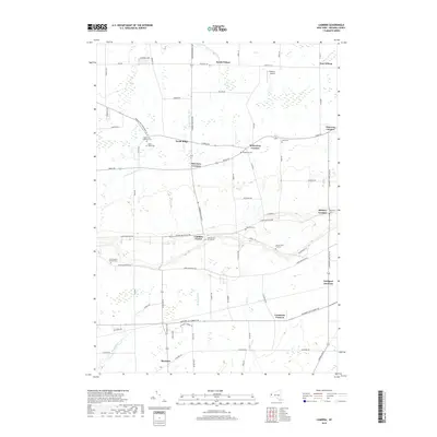
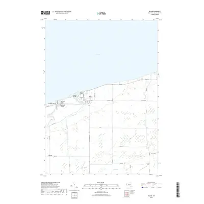
1894 Map of Wilson
USGS Topo · Published 1897About this map
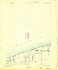
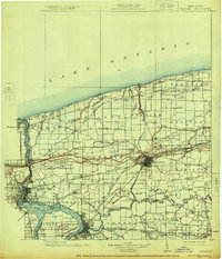
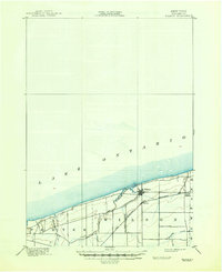
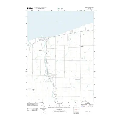
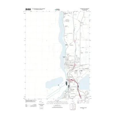
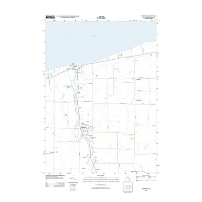
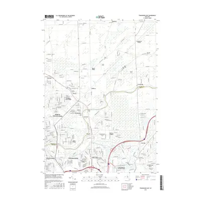
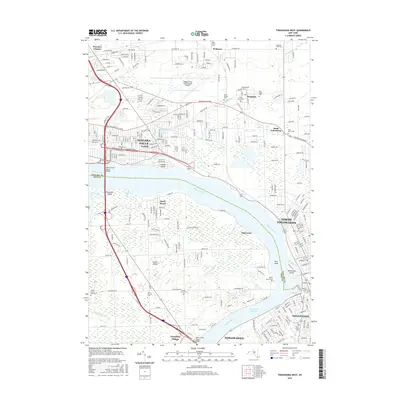
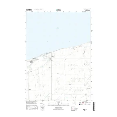
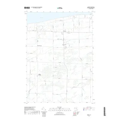
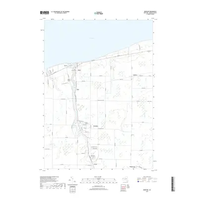
Wilson township and the surrounding Niagara County shoreline are defined by the meeting of fertile lakefront plains and the waters of Lake Ontario. In the early 1890s, the local economy and transport network revolved around the Rome Watertown and Ogdensburg Station, which provided a critical link for agricultural goods moving toward northern New York markets. The landscape is etched by the winding course of Twelvemile Creek and its East Branch, which converge near the main settlement of Wilson. Further inland, the map shows the transition to smaller clusters such as North Wilson and the neighboring township of Porter. This survey, conducted under the direction of J.W. Powell, captures the structured layout of the H.M. Wilson-led geodetic work, highlighting the primary roads and early rail infrastructure that shaped the development of this northern frontier before modern highway expansion.
Find a feature on this map
8 named features on this map. Tap any name to fly to it.
Don’t see what you’re looking for? This feature index may not catch every label — zoom into the map to look around manually.
Map Details
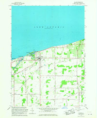
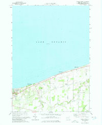
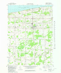
Editions of this 1894 Wilson Map
2 editions found
Historical Maps of Newfane Through Time
85 maps found
1894 Wilson
Niagara County, NY
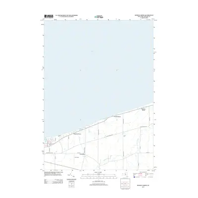
1899 Niagara
Niagara County, NY
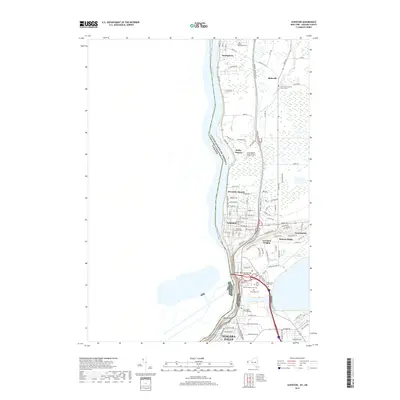
1900 Wilson
Niagara County, NY

1948 Tonawanda West
Niagara County, NY

1948 Wilson
Niagara County, NY

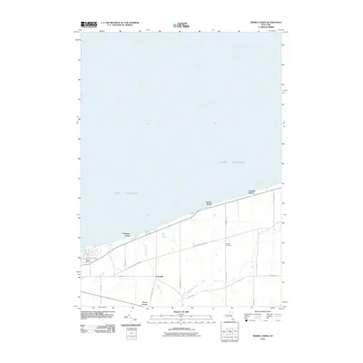
1949 Barker
Niagara County, NY

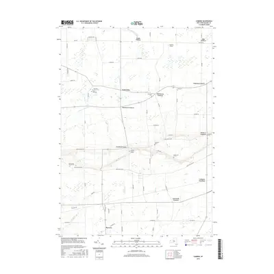
1949 Cambria
Niagara County, NY

1949 Sixmile Creek
Niagara County, NY
1949 Wilson
Niagara County, NY

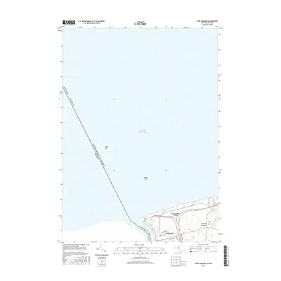
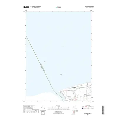
1950 Ft Niagara
Niagara County, NY

1950 Lewiston
Niagara County, NY

1950 Newfane
Niagara County, NY
1950 Tonawanda East
Niagara County, NY

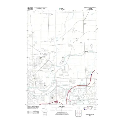
1950 Tonawanda West
Niagara County, NY

1952 Toronto
Niagara County, NY

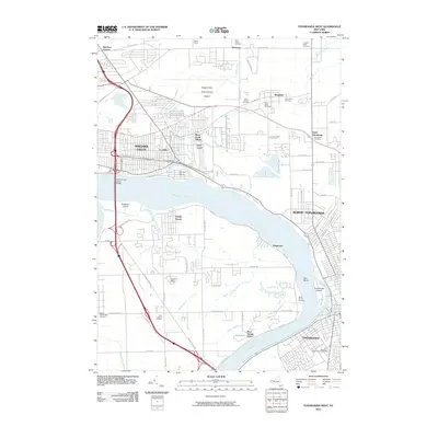
1954 Tonawanda West
Niagara County, NY

1962 Toronto
Niagara County, NY
1965 Barker
Niagara County, NY

1965 Cambria
Niagara County, NY

1965 Ft Niagara
Niagara County, NY

1965 Lewiston
Niagara County, NY
1965 Newfane
Niagara County, NY
1965 Sixmile Creek
Niagara County, NY

1965 Tonawanda East
Niagara County, NY

1965 Tonawanda West
Niagara County, NY

1965 Toronto
Niagara County, NY
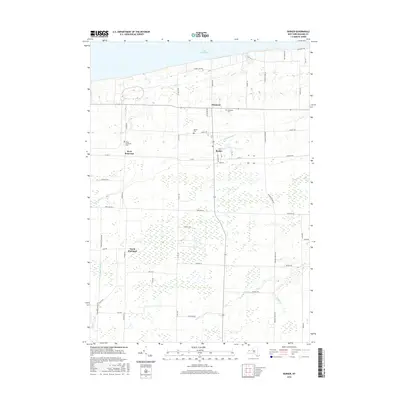
1965 Wilson
Niagara County, NY
1973 Sixmile Creek
Niagara County, NY
1974 Sixmile Creek
Niagara County, NY
1978 Newfane
Niagara County, NY
1980 Barker
Niagara County, NY

1980 Cambria
Niagara County, NY

1980 Ft Niagara
Niagara County, NY

1980 Lewiston
Niagara County, NY

1980 Tonawanda East
Niagara County, NY

1980 Tonawanda West
Niagara County, NY
2010 Barker
Niagara County, NY
2010 Cambria
Niagara County, NY
2010 Newfane
Niagara County, NY
2010 Sixmile Creek
Niagara County, NY
2010 Tonawanda East
Niagara County, NY
2010 Tonawanda West
Niagara County, NY
2010 Wilson
Niagara County, NY
2011 Lewiston
Niagara County, NY
2012 Fort Niagara
Niagara County, NY
2013 Barker
Niagara County, NY
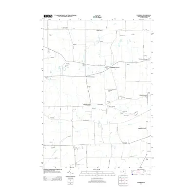
2013 Cambria
Niagara County, NY
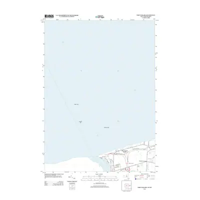
2013 Fort Niagara
Niagara County, NY
2013 Lewiston
Niagara County, NY
2013 Lyndonville OE N
Niagara County, NY
2013 Newfane
Niagara County, NY
2013 Sixmile Creek
Niagara County, NY
2013 Tonawanda East
Niagara County, NY
2013 Tonawanda West
Niagara County, NY
2013 Wilson
Niagara County, NY
2016 Barker
Niagara County, NY
2016 Cambria
Niagara County, NY
2016 Fort Niagara
Niagara County, NY
2016 Lewiston
Niagara County, NY
2016 Lyndonville OE N
Niagara County, NY
2016 Newfane
Niagara County, NY
2016 Sixmile Creek
Niagara County, NY
2016 Tonawanda East
Niagara County, NY
2016 Tonawanda West
Niagara County, NY
2016 Wilson
Niagara County, NY
2019 Barker
Niagara County, NY
2019 Cambria
Niagara County, NY
2019 Fort Niagara
Niagara County, NY
2019 Lewiston
Niagara County, NY
2019 Lyndonville OE N
Niagara County, NY
2019 Newfane
Niagara County, NY
2019 Sixmile Creek
Niagara County, NY
2019 Tonawanda East
Niagara County, NY
2019 Tonawanda West
Niagara County, NY
2019 Wilson
Niagara County, NY

2023 Barker
Niagara County, NY

2023 Cambria
Niagara County, NY

2023 Fort Niagara
Niagara County, NY

2023 Lewiston
Niagara County, NY
2023 Lyndonville OE N
Niagara County, NY

2023 Newfane
Niagara County, NY

2023 Sixmile Creek
Niagara County, NY

2023 Tonawanda East
Niagara County, NY

2023 Tonawanda West
Niagara County, NY

2023 Wilson
Niagara County, NY