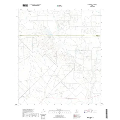
2019 Map of Wilson Ranch
USGS Topo · Published 2019About this map
The Medina Co Frio Co boundary line divides this landscape where the coastal plains meet the South Texas brush country. Water management and ranching define the terrain, anchored by the Wilson Ranch and the associated Wilson Lake to its south. The drainage network is particularly dense here, with Seco Cr and Squirrel Cr winding through the center of the map, eventually joined by Live Oak Cr. To the east, Eschenburg Lake provides a secondary focal point for local water resources near the confluence of Hondo Cr and Tehuacana Cr. This modern survey illustrates the persistent importance of named creek systems like Cocklebur Cr in a region where cattle ranching and private landholdings, accessed via routes like FM 2200, remain the primary economic drivers.
Find a feature on this map
18 named features on this map. Tap any name to fly to it.
Don’t see what you’re looking for? This feature index may not catch every label — zoom into the map to look around manually.
Map Details
Editions of this 2019 Wilson Ranch Map
This is the sole edition of this map. No revisions or reprints were ever made.
Other maps of this area

1925 · Pearsall 1-b
USGS Topo · 1:48,000

1927 · Pearsall
USGS Topo · 1:62,500

1928 · Frio Town
USGS Topo · 1:62,500

1942 · Divot
USGS Topo · 1:62,500

1953 · Crystal City
USGS Topo · 1:250,000

1954 · San Antonio
USGS Topo · 1:250,000

1955 · Crystal City
USGS Topo · 1:250,000

1956 · Divot
USGS Topo · 1:62,500

1957 · San Antonio
USGS Topo · 1:250,000

1961 · Crystal City
USGS Topo · 1:250,000