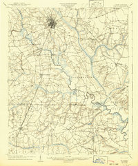
1904 Map of Wilson
USGS Topo · Published 1942About this map
The town of Wilson serves as the primary rail hub on this early twentieth-century survey, situated at a major convergence of the Atlantic Coast Line and other regional spurs. The landscape is defined by its intricate drainage network, where Contentnea Creek and Toisnot Swamp meander through low-lying plains. This environment necessitated numerous crossings that became local landmarks, including the Roundtree Bridge and Woodard Bridge.
Find a feature on this map
46 named features on this map. Tap any name to fly to it.
Don’t see what you’re looking for? This feature index may not catch every label — zoom into the map to look around manually.
Map Details
Editions of this 1904 Wilson Map
3 editions found
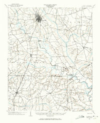
Other maps of this area

1902 · Kenly
USGS Topo · 1:62,500

1902 · Rocky Mount
USGS Topo · 1:62,500

1902 · Spring Hope
USGS Topo · 1:62,500

1902 · Tarboro
USGS Topo · 1:62,500

1903 · Kenly
USGS Topo · 1:62,500

1903 · Tarboro
USGS Topo · 1:62,500

1904 · Falkland
USGS Topo · 1:62,500

1904 · Rocky Mount
USGS Topo · 1:62,500

1904 · Springhope
USGS Topo · 1:62,500

1904 · Wilson
USGS Topo · 1:62,500