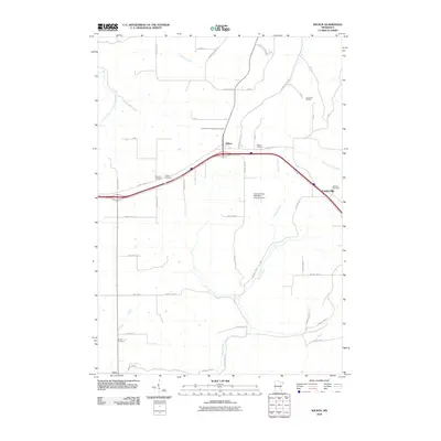
2010 Map of Wilson
USGS Topo · Published 2010About this map
Wilson and Centerville anchor this portion of Winona County, where agricultural fields are bisected by modern transportation corridors and winding valley tributaries. The landscape is defined by the headwaters of Money Creek and Gilmore Creek, which carve through the terrain and dictate the placement of local townships like Wilson and Wiscoy. A high density of rural burial grounds, including the Immaculate Conception and Witoka Cemetery, suggests a long-settled community with deep genealogical roots centered around these crossroads. Toward the northeast, Camp We-Na-Nah sits near the upper reaches of Pleasant Valley Creek, while the Clement Felix Detention Structure Dam represents modern water management along the creek's descent. This survey captures a moment where old township roads like Warren and Hart meet the expanding reach of regional highway infrastructure.
Find a feature on this map
47 named features on this map. Tap any name to fly to it.
Don’t see what you’re looking for? This feature index may not catch every label — zoom into the map to look around manually.
Map Details
Editions of this 2010 Wilson Map
This is the sole edition of this map. No revisions or reprints were ever made.
Other maps of this area

1929 · Fountain City
USGS Topo · 1:62,500

1932 · Cochrane
USGS Topo · 1:62,500

1934 · Winona
USGS Topo · 1:62,500

1934 · Cochrane
USGS Topo · 1:62,500

1937 · Winona
USGS Topo · 1:62,500

1937 · Cochrane
USGS Topo · 1:62,500

1953 · Eau Claire
USGS Topo · 1:250,000

1954 · Lewiston
USGS Topo · 1:62,500

1958 · Eau Claire
USGS Topo · 1:250,000

1958 · Houston
USGS Topo · 1:62,500