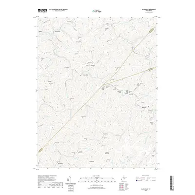
2019 Map of Wilsondale
USGS Topo · Published 2019About this map
Wilsondale and the surrounding hollows of Wayne and Mingo Counties are defined by a complex network of ridges and watercourses. This landscape is a patchwork of family lineage, with dozens of small burial grounds such as Meade and Messer Cem, Perry Ridge Cem, and Baisden Cem located along the high ground of Martinsridge and Beech Ridge. The transportation patterns here are heavily influenced by the narrow valleys of West Fork Twelvepole Creek and Jennie Cr, where localized infrastructure like the Lora Fleming Memorial Bridge and the Breeden Tunnel facilitate movement through the steep terrain.
Find a feature on this map
117 named features on this map. Tap any name to fly to it.
Don’t see what you’re looking for? This feature index may not catch every label — zoom into the map to look around manually.
Map Details
Editions of this 2019 Wilsondale Map
This is the sole edition of this map. No revisions or reprints were ever made.
Other maps of this area

1887 · Warfield
USGS Topo · 1:125,000

1891 · Warfield
USGS Topo · 1:125,000

1892 · Huntington
USGS Topo · 1:125,000

1898 · Huntington
USGS Topo · 1:125,000

1902 · Midkiff
USGS Topo · 1:62,500

1907 · Midkiff
USGS Topo · 1:62,500

1909 · Wayne
USGS Topo · 1:62,500

1909 · Midkiff
USGS Topo · 1:62,500

1910 · Holden
USGS Topo · 1:48,000

1910 · Naugatuck
USGS Topo · 1:48,000