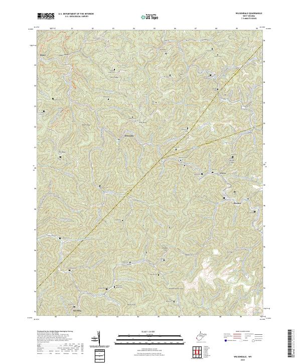
2023 Map of Wilsondale
USGS Topo · Published 2023About this map
Wilsondale and Breeden serve as key points of settlement along the winding path of West Fork Twelvepole Creek in this West Virginia valley. The area is deeply marked by a vast network of family cemeteries, reflecting generations of local lineage in places like the Meade and Messer Cem, Stafford Cem, and Matty Ferguson Cem. These burial grounds often occupy high ground on ridges such as Beech Ridge or Martins Ridge, overlooking the complex drainage patterns of Jennie Creek and Breeden Creek.
Find a feature on this map
111 named features on this map. Tap any name to fly to it.
Don’t see what you’re looking for? This feature index may not catch every label — zoom into the map to look around manually.
Map Details
Editions of this 2023 Wilsondale Map
This is the sole edition of this map. No revisions or reprints were ever made.
Other maps of this area

1887 · Warfield
USGS Topo · 1:125,000

1891 · Warfield
USGS Topo · 1:125,000

1892 · Huntington
USGS Topo · 1:125,000

1898 · Huntington
USGS Topo · 1:125,000

1902 · Midkiff
USGS Topo · 1:62,500

1907 · Midkiff
USGS Topo · 1:62,500

1909 · Wayne
USGS Topo · 1:62,500

1909 · Midkiff
USGS Topo · 1:62,500

1910 · Holden
USGS Topo · 1:48,000

1910 · Naugatuck
USGS Topo · 1:48,000