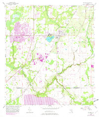
1956 Map of Wimauma
USGS Topo · Published 1982About this map
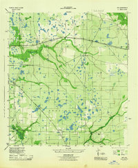
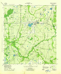
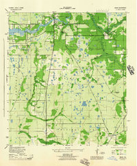
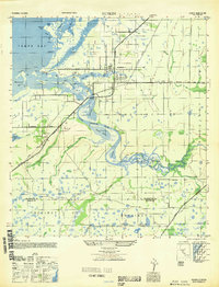
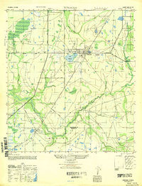
Wimauma serves as the central hub of this South Florida survey, situated just north of the scenic Lake Wimauma. The landscape is defined by the winding course of the Little Manatee River and its various tributaries, including Bullfrog Creek and Cypress Creek, which carve through the terrain. The presence of the Seaboard Coast Line railroad demonstrates the region's historical reliance on rail for transporting goods and connecting rural settlements like Willow on the southern border.
Find a feature on this map
14 named features on this map. Tap any name to fly to it.
Don’t see what you’re looking for? This feature index may not catch every label — zoom into the map to look around manually.
Map Details
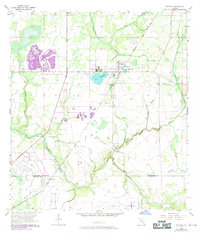
Editions of this 1956 Wimauma Map
4 editions found
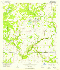
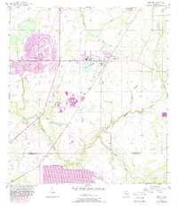
Other maps of this area

1921 · Tampa
USGS Topo · 1:62,500

1944 · Ruskin
USGS Topo · 1:31,680
1944 · Rye
USGS Topo · 1:31,680
1944 · Wimauma
USGS Topo · 1:31,680

1944 · Parish
USGS Topo · 1:31,680
1944 · Balm
USGS Topo · 1:31,680

1945 · Gadsden Point
USGS Topo · 1:31,680
1947 · Ruskin
USGS Topo · 1:25,000
1947 · Wimauma
USGS Topo · 1:25,000

1947 · Gadsden Point
USGS Topo · 1:25,000