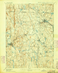
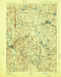
1894 Map of Winchendon
USGS Topo · Published 1905About this map
Winchendon and Athol serve as the primary industrial and rail hubs on this late 19th-century landscape, where the Miller River and its tributaries powered numerous local manufacturing centers. The map documents a dense network of steam transportation, featuring the Cheshire Railroad and the Fitchburg Railroad intersecting at critical junctions like Baldwinville. These rails connected smaller manufacturing hamlets such as Waterville, Hydeville, and South Royalston to larger markets, illustrating the region's transition into a mature mill-and-rail economy. Beyond the valley floors, the terrain rises to landmarks like Tully Mtn. and Benjamin Hill, with the survey also capturing quieter upland settlements like Phillipston and Winchendon Center. Genealogists will find interest in the numerous named points of local industry, such as Powers Mills and Brooks Village, which highlight the decentralized nature of early New England manufacturing before it fully consolidated into larger urban centers.
Find a feature on this map
103 named features on this map. Tap any name to fly to it.
Don’t see what you’re looking for? This feature index may not catch every label — zoom into the map to look around manually.
Map Details
Editions of this 1894 Winchendon Map
6 editions found

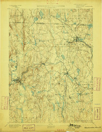
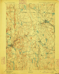
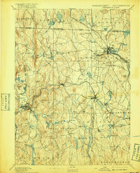
Other maps of this area

1885 · Worcester
USGS Topo · 1:62,500

1886 · Worcester
USGS Topo · 1:62,500

1887 · Warwick
USGS Topo · 1:62,500

1887 · Belchertown
USGS Topo · 1:62,500

1887 · Winchendon
USGS Topo · 1:62,500

1887 · Barre
USGS Topo · 1:62,500

1887 · Fitchburg
USGS Topo · 1:62,500

1889 · Fitchburg
USGS Topo · 1:62,500

1889 · Barre
USGS Topo · 1:62,500

1889 · Warwick
USGS Topo · 1:62,500