
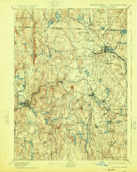
1894 Map of Winchendon
USGS Topo · Published 1894About this map
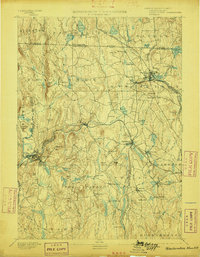
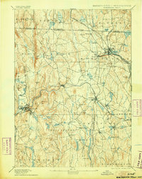
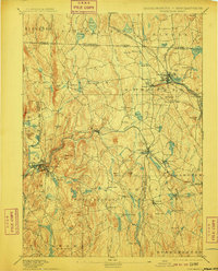
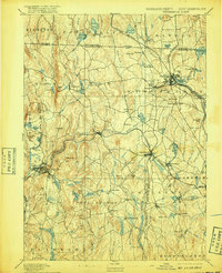
The industrial and river-dependent landscape of the north-central border of Massachusetts is defined by a dense network of rail and water power in the late nineteenth century. The Miller River and Otter River serve as the primary corridors for development, supporting a concentration of manufacturing hamlets such as Waterville, Hydeville, and Baldwinville. This topography is shaped by the convergence of major transit lines, including the Cheshire Railroad and the Fitchburg Railroad, which linked these mill towns to broader commercial markets.
Find a feature on this map
99 named features on this map. Tap any name to fly to it.
Don’t see what you’re looking for? This feature index may not catch every label — zoom into the map to look around manually.
Map Details
Editions of this 1894 Winchendon Map
6 editions found
Other maps of this area

1885 · Worcester
USGS Topo · 1:62,500

1886 · Worcester
USGS Topo · 1:62,500

1887 · Warwick
USGS Topo · 1:62,500

1887 · Belchertown
USGS Topo · 1:62,500

1887 · Winchendon
USGS Topo · 1:62,500

1887 · Barre
USGS Topo · 1:62,500

1887 · Fitchburg
USGS Topo · 1:62,500

1889 · Fitchburg
USGS Topo · 1:62,500

1889 · Barre
USGS Topo · 1:62,500

1889 · Warwick
USGS Topo · 1:62,500