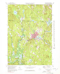
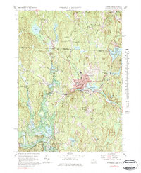
1971 Map of Winchendon
USGS Topo · Published 1978About this map
The Millers River flows through a landscape defined by New England industrial centers and rural outposts in this 1971 revision. The primary settlement of Winchendon serves as the hub, surrounded by smaller communities such as Waterville, Hydeville, and Winchendon Springs. These villages reflect a history tied to the water and the rail, with the Boston and Maine Railroad cutting through the terrain. To the south, the massive footprint of the Birch Hill Dam and the Otter River State Forest indicates a shift toward conservation and flood control.
Find a feature on this map
86 named features on this map. Tap any name to fly to it.
Don’t see what you’re looking for? This feature index may not catch every label — zoom into the map to look around manually.
Map Details
Editions of this 1971 Winchendon Map
5 editions found
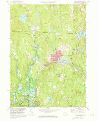
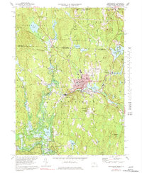
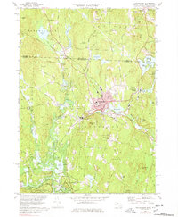
Other maps of this area

1887 · Winchendon
USGS Topo · 1:62,500

1887 · Fitchburg
USGS Topo · 1:62,500

1889 · Fitchburg
USGS Topo · 1:62,500

1890 · Winchendon
USGS Topo · 1:62,500

1893 · Fitchburg
USGS Topo · 1:62,500

1894 · Winchendon
USGS Topo · 1:62,500

1898 · Monadnock
USGS Topo · 1:62,500

1900 · Peterboro
USGS Topo · 1:62,500

1931 · Fitchburg
USGS Topo · 1:48,000

1932 · Winchendon
USGS Topo · 1:48,000