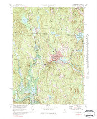
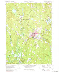
1971 Map of Winchendon
USGS Topo · Published 1984About this map
Winchendon serves as the industrial and population anchor of this North Central Massachusetts region during the early 1970s, situated at the crossroads of the Boston and Maine Railroad. The landscape is defined by the winding course of the Millers River, which supported a string of satellite mill settlements including Waterville, Hydeville, and Winchendon Springs. These hamlets reveal a classic New England development pattern, with homes and infrastructure clustered tightly around river bends and ponds like Whitney Pond and Whites Mill Pd.
Find a feature on this map
66 named features on this map. Tap any name to fly to it.
Don’t see what you’re looking for? This feature index may not catch every label — zoom into the map to look around manually.
Map Details
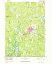
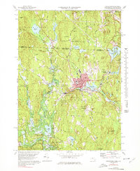
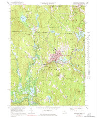
Editions of this 1971 Winchendon Map
5 editions found
Other maps of this area

1887 · Winchendon
USGS Topo · 1:62,500

1887 · Fitchburg
USGS Topo · 1:62,500

1889 · Fitchburg
USGS Topo · 1:62,500

1890 · Winchendon
USGS Topo · 1:62,500

1893 · Fitchburg
USGS Topo · 1:62,500

1894 · Winchendon
USGS Topo · 1:62,500

1898 · Monadnock
USGS Topo · 1:62,500

1900 · Peterboro
USGS Topo · 1:62,500

1931 · Fitchburg
USGS Topo · 1:48,000

1932 · Winchendon
USGS Topo · 1:48,000