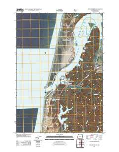
2011 Map of Winchester Bay
USGS Topo · Published 2011About this map
Winchester Bay and the mouth of the Umpqua River define this coastal landscape, where the shifting sands of North Spit and Drake Dune meet the Pacific Ocean. This survey details the maritime and recreational character of the Douglas County coastline, anchored by the prominent Umpqua Lighthouse and the surrounding Umpqua Lighthouse State Park. To the south, a chain of freshwater bodies including Lake Marie, Clear Lake, and the larger Eel Lake provide a sharp contrast to the tidal waters of Henderson Cove and Jerden Cove. Local infrastructure is concentrated around Salmon Harbor Drive, serving the Winchester Bay Post Office and the fishing community. Genealogists and historians will find the Masonic Cemetery positioned just east of the primary settlement, while those interested in maritime history can trace the navigational hazards near Ork Reef and Winchester Point.
Find a feature on this map
42 named features on this map. Tap any name to fly to it.
Don’t see what you’re looking for? This feature index may not catch every label — zoom into the map to look around manually.
Map Details
Editions of this 2011 Winchester Bay Map
This is the sole edition of this map. No revisions or reprints were ever made.
Other maps of this area

1920 · Siltcoos Lake
USGS Topo · 1:62,500

1923 · Reedsport
USGS Topo · 1:62,500

1941 · Siltcoos Lake
USGS Topo · 1:62,500

1942 · Siltcoos Lake
USGS Topo · 1:62,500

1942 · Reedsport
USGS Topo · 1:62,500

1954 · Coos Bay
USGS Topo · 1:250,000
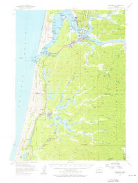
1956 · Reedsport
USGS Topo · 1:62,500
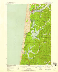
1956 · Siltcoos Lake
USGS Topo · 1:62,500

1958 · Coos Bay
USGS Topo · 1:250,000

1962 · Coos Bay
USGS Topo · 1:250,000