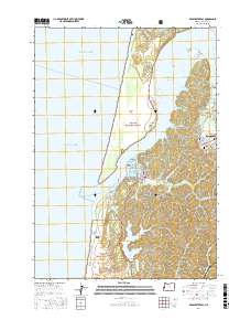
2017 Map of Winchester Bay
USGS Topo · Published 2017About this map
Winchester Bay serves as a focal point where the Umpqua River meets the Pacific Ocean, framing a landscape of coastal dunes and tidal channels. The settlement at Reedsport is situated to the east, bordered by the lowlands of Wades Flat and the elevations of Brushy Hill. This coastal area is defined by the extensive North Spit, which separates the river's Barretts Range Channel from the open sea. Inland, the topography transitions into the protected timberlands of the Siuslaw National Forest.
Find a feature on this map
52 named features on this map. Tap any name to fly to it.
Don’t see what you’re looking for? This feature index may not catch every label — zoom into the map to look around manually.
Map Details
Editions of this 2017 Winchester Bay Map
This is the sole edition of this map. No revisions or reprints were ever made.
Other maps of this area

1920 · Siltcoos Lake
USGS Topo · 1:62,500

1923 · Reedsport
USGS Topo · 1:62,500

1941 · Siltcoos Lake
USGS Topo · 1:62,500

1942 · Siltcoos Lake
USGS Topo · 1:62,500

1942 · Reedsport
USGS Topo · 1:62,500

1954 · Coos Bay
USGS Topo · 1:250,000
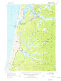
1956 · Reedsport
USGS Topo · 1:62,500
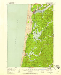
1956 · Siltcoos Lake
USGS Topo · 1:62,500

1958 · Coos Bay
USGS Topo · 1:250,000

1962 · Coos Bay
USGS Topo · 1:250,000