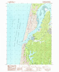
1985 Map of Winchester Bay
USGS Topo · Published 1985About this map
Winchester Bay serves as the focal point for this coastal mid-1980s landscape, where the Umpqua River meets the Pacific Ocean. The settlement's maritime character is defined by the Salmon Harbor facilities and the nearby U.S. Coast Guard Reservation. To the north, the North Spit contains the high peaks of the Sand Dunes within the Oregon Dunes National Recreation Area, while the protected waters of The Cutoff and The Point navigate around Steamboat Island.
Find a feature on this map
43 named features on this map. Tap any name to fly to it.
Don’t see what you’re looking for? This feature index may not catch every label — zoom into the map to look around manually.
Map Details
Editions of this 1985 Winchester Bay Map
This is the sole edition of this map. No revisions or reprints were ever made.
Other maps of this area

1920 · Siltcoos Lake
USGS Topo · 1:62,500

1923 · Reedsport
USGS Topo · 1:62,500

1941 · Siltcoos Lake
USGS Topo · 1:62,500

1942 · Siltcoos Lake
USGS Topo · 1:62,500

1942 · Reedsport
USGS Topo · 1:62,500

1954 · Coos Bay
USGS Topo · 1:250,000
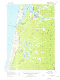
1956 · Reedsport
USGS Topo · 1:62,500
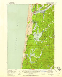
1956 · Siltcoos Lake
USGS Topo · 1:62,500

1958 · Coos Bay
USGS Topo · 1:250,000

1962 · Coos Bay
USGS Topo · 1:250,000