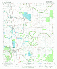
1969 Map of Winchester
USGS Topo · Published 1971About this map
Amos Bayou winds through this alluvial landscape, marking a terrain defined by complex water systems and intensive aquaculture. The map reveals a distinct pattern of Fish Farm operations scattered throughout the lowlands, indicating a shift toward commercial pond-raised fish during the late 1960s. The Missouri Pacific railroad serves as the primary corridor for settlements like Pickens and Winchester, which anchor the local community alongside scattered hamlets such as Omega and Yukon.
Find a feature on this map
34 named features on this map. Tap any name to fly to it.
Don’t see what you’re looking for? This feature index may not catch every label — zoom into the map to look around manually.
Map Details
Editions of this 1969 Winchester Map
2 editions found
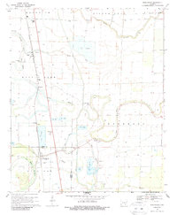
Other maps of this area

1935 · Cominto
USGS Topo · 1:62,500

1935 · Rotan
USGS Topo · 1:62,500

1935 · Red Fork
USGS Topo · 1:62,500

1936 · McGehee
USGS Topo · 1:62,500

1937 · McGehee
USGS Topo · 1:62,500

1953 · Greenwood
USGS Topo · 1:250,000

1955 · McGehee
USGS Topo · 1:62,500

1956 · Greenwood
USGS Topo · 1:250,000

1960 · Selma
USGS Topo · 1:24,000

1960 · Collins
USGS Topo · 1:62,500