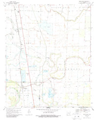
1969 Map of Winchester
USGS Topo · Published 1987About this map
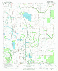
Missouri Pacific rails run parallel to the western boundary of this landscape, connecting the settlements of Pickens, Yukon, and Winchester. The area is defined by the winding course of Amos Bayou and several Fish Farm operations that reflect the local agricultural economy of the late 1960s. For genealogists, the map is a dense record of community institutions, featuring numerous small cemeteries such as Jefferson Cem, Newton Cem, and Dixon Cem, often located adjacent to rural houses of worship like Newton Chapel and Hopedale Ch. The topography remains relatively flat, transitioning into wet lowlands such as Live Oak Brake and Coon Bayou in the south. Other notable landmarks include the Pickens Airport and several localized drainage canals that support the surrounding farm and well sites.
Find a feature on this map
34 named features on this map. Tap any name to fly to it.
Don’t see what you’re looking for? This feature index may not catch every label — zoom into the map to look around manually.
Map Details
Editions of this 1969 Winchester Map
2 editions found
Other maps of this area

1935 · Cominto
USGS Topo · 1:62,500

1935 · Rotan
USGS Topo · 1:62,500

1935 · Red Fork
USGS Topo · 1:62,500

1936 · McGehee
USGS Topo · 1:62,500

1937 · McGehee
USGS Topo · 1:62,500

1953 · Greenwood
USGS Topo · 1:250,000

1955 · McGehee
USGS Topo · 1:62,500

1956 · Greenwood
USGS Topo · 1:250,000

1960 · Selma
USGS Topo · 1:24,000

1960 · Collins
USGS Topo · 1:62,500