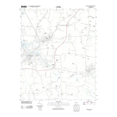
2010 Map of Winchester
USGS Topo · Published 2010About this map
Winchester and its neighboring towns of Decherd and Cowan anchor this Franklin County landscape, situated along the CSX rail corridor. The map reveals a dense concentration of burial grounds, many of which carry the names of prominent local families and distinct communities, such as the Decherd Negro Cemetery, Embry-Decherd Cemetery, and the Wallis-Estill-Hayden-March Cemetery. These sites, along with landmarks like the Red Mill Bridge and Cedar Bluff, provide a deep view of the region's genealogy and early settlement patterns.
Find a feature on this map
133 named features on this map. Tap any name to fly to it.
Don’t see what you’re looking for? This feature index may not catch every label — zoom into the map to look around manually.
Map Details
Editions of this 2010 Winchester Map
This is the sole edition of this map. No revisions or reprints were ever made.
Other maps of this area

1895 · Sewanee
USGS Topo · 1:125,000

1928 · Decherd
USGS Topo · 1:62,500

1936 · Sewanee
USGS Topo · 1:24,000

1936 · Alto
USGS Topo · 1:24,000

1936 · Sinking Cove
USGS Topo · 1:24,000

1936 · Beans Creek
USGS Topo · 1:24,000

1936 · Winchester
USGS Topo · 1:24,000

1936 · Belvidere
USGS Topo · 1:24,000

1936 · Pitcher Ridge
USGS Topo · 1:24,000

1936 · Camp Peay
USGS Topo · 1:24,000