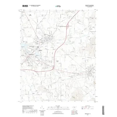
2019 Map of Winchester
USGS Topo · Published 2019About this map
Winchester serves as the focal point of this Franklin County landscape, where the urban grid meets the winding waters of Tims Ford Lake and Boiling Fork Creek. The area is defined by a dense concentration of historical burial sites, including the Winchester City Cem, the Decherd Negro Cem, and the uniquely named Wallis-Estill-Hayden-March Cem. To the north and east, the rail lines of CSX Transportation link the industrial and residential hubs of Decherd and Cowan, tracing the base of the Cumberland Plateau foothills. The transition from the valley floor to the elevations of Penile Hill and Little Mtn highlights the local topography. Aviation history is also represented through the Winchester Municipal Airport and King Airport, while small settlements like Estill Springs and Asia maintain their distinct positions within the rural-industrial network of middle Tennessee.
Find a feature on this map
179 named features on this map. Tap any name to fly to it.
Don’t see what you’re looking for? This feature index may not catch every label — zoom into the map to look around manually.
Map Details
Editions of this 2019 Winchester Map
This is the sole edition of this map. No revisions or reprints were ever made.
Other maps of this area

1895 · Sewanee
USGS Topo · 1:125,000

1928 · Decherd
USGS Topo · 1:62,500

1936 · Sewanee
USGS Topo · 1:24,000

1936 · Alto
USGS Topo · 1:24,000

1936 · Sinking Cove
USGS Topo · 1:24,000

1936 · Beans Creek
USGS Topo · 1:24,000

1936 · Winchester
USGS Topo · 1:24,000

1936 · Belvidere
USGS Topo · 1:24,000

1936 · Pitcher Ridge
USGS Topo · 1:24,000

1936 · Camp Peay
USGS Topo · 1:24,000