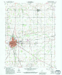
1916 Map of Winchester
USGS Topo · Published 1958About this map
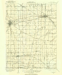
Winchester and Union City anchor this 1916 survey of eastern Indiana and western Ohio, depicting a landscape defined by an intensive network of steam and electric railways. The Pittsburgh Cincinnati Chicago and St Louis RR and the Cleveland Cincinnati Chicago and St Louis RR cross at the heart of the region, while the Traction Company and Dayton and Muncie Electric RR highlight the height of the interurban era. These transit lines link smaller hubs like Saratoga, Harrisville, and Lynn.
Find a feature on this map
81 named features on this map. Tap any name to fly to it.
Don’t see what you’re looking for? This feature index may not catch every label — zoom into the map to look around manually.
Map Details
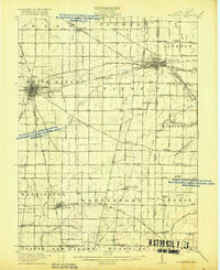
Editions of this 1916 Winchester Map
3 editions found

Historical Maps of Winchester Through Time
9 maps found
1916 Winchester
Randolph County, IN
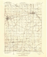
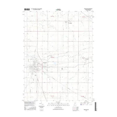
1918 Winchester
Randolph County, IN
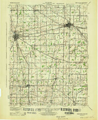
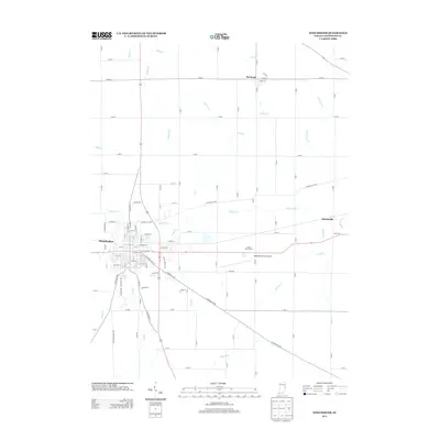
1943 Winchester
Randolph County, IN
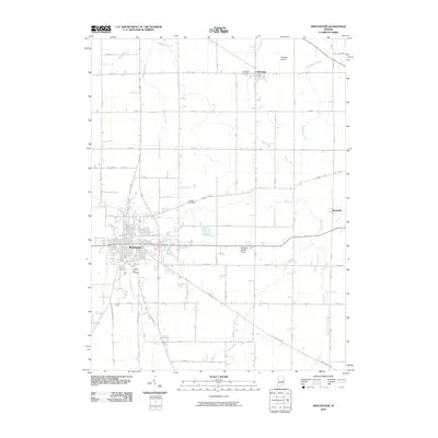
1960 Winchester
Randolph County, IN
2010 Winchester
Randolph County, IN
2013 Winchester
Randolph County, IN
2016 Winchester
Randolph County, IN
2019 Winchester
Randolph County, IN
2022 Winchester
Randolph County, IN