
1916 Map of Winchester
USGS Topo · Published 1916About this map
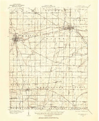
Winchester stands as a central rail and road hub at the heart of this East Central Indiana landscape, where the Cleveland Cincinnati Chicago and St Louis RR and the Pittsburgh Cincinnati Chicago and St Louis RR intersect. The rural landscape is densely marked by nineteenth-century infrastructure, including the County Infirmary and a remarkable network of one-room district schools such as the McKinley School, Bickel School, and the uniquely named Sauer Kraut School.
Find a feature on this map
62 named features on this map. Tap any name to fly to it.
Don’t see what you’re looking for? This feature index may not catch every label — zoom into the map to look around manually.
Map Details
Editions of this 1916 Winchester Map
3 editions found
Other maps of this area

1908 · St. Henry
USGS Topo · 1:62,500

1915 · Fort Recovery
USGS Topo · 1:48,000

1915 · New Paris
USGS Topo · 1:48,000

1918 · Winchester
USGS Topo · 1:62,500

1918 · Fort Recovery
USGS Topo · 1:62,500

1918 · New Paris
USGS Topo · 1:62,500

1943 · Winchester
USGS Topo · 1:62,500

1952 · Maxville
USGS Topo · 1:24,000

1953 · Cincinnati
USGS Topo · 1:250,000

1953 · Muncie
USGS Topo · 1:250,000