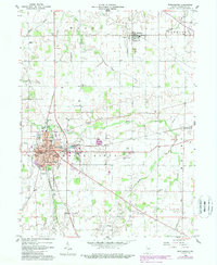
1960 Map of Winchester
USGS Topo · Published 1988About this map
The White River winds through the heart of Randolph County in this 1960 survey, anchoring a landscape where small-town industry meets agricultural tradition. At the county seat of Winchester, the street grid expands around landmarks such as Randolph County Hospital and the Morton School, while the southern outskirts feature the Fountain Park Cemetery and Beeson Park Golf Course. Significant revisions from the early 1980s highlight urban growth and the development of the Randolph County Airport to the east.
Find a feature on this map
37 named features on this map. Tap any name to fly to it.
Don’t see what you’re looking for? This feature index may not catch every label — zoom into the map to look around manually.
Map Details
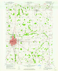
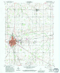
Editions of this 1960 Winchester Map
3 editions found
Other maps of this area

1915 · Fort Recovery
USGS Topo · 1:48,000

1916 · Winchester
USGS Topo · 1:48,000

1918 · Winchester
USGS Topo · 1:62,500

1918 · Fort Recovery
USGS Topo · 1:62,500

1943 · Winchester
USGS Topo · 1:62,500

1952 · Maxville
USGS Topo · 1:24,000

1953 · Muncie
USGS Topo · 1:250,000

1956 · Muncie
USGS Topo · 1:250,000

1960 · Union City
USGS Topo · 1:24,000

1960 · Carlos
USGS Topo · 1:24,000