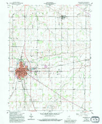
1960 Map of Winchester
USGS Topo · Published 1995About this map
The White River defines the central axis of this Randolph County landscape, where the city of Winchester serves as the regional hub at the convergence of several major rail lines. By the late 1950s and early 1960s, the area exhibited a blend of traditional civic institutions and modernizing infrastructure, from the Randolph County Airport and Drive-in Theater to established centers like the White River High Sch. Smaller crossroads and rural hamlets such as Saratoga, Harrisville, and Jericho dot the surrounding farmland, often anchored by local landmarks like Jericho Ch or the Saratoga Cem. In the south, the County Home and Fairground stand near the banks of Salt Creek, illustrating the era's municipal organization. The map also captures the local energy economy through scattered Gas Well sites and a prominent Pipeline cutting across the southern townships.
Find a feature on this map
47 named features on this map. Tap any name to fly to it.
Don’t see what you’re looking for? This feature index may not catch every label — zoom into the map to look around manually.
Map Details
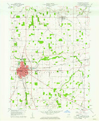
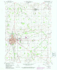
Editions of this 1960 Winchester Map
3 editions found
Other maps of this area

1915 · Fort Recovery
USGS Topo · 1:48,000

1916 · Winchester
USGS Topo · 1:48,000

1918 · Winchester
USGS Topo · 1:62,500

1918 · Fort Recovery
USGS Topo · 1:62,500

1943 · Winchester
USGS Topo · 1:62,500

1952 · Maxville
USGS Topo · 1:24,000

1953 · Muncie
USGS Topo · 1:250,000

1956 · Muncie
USGS Topo · 1:250,000

1960 · Union City
USGS Topo · 1:24,000

1960 · Carlos
USGS Topo · 1:24,000