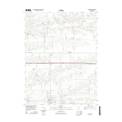
2015 Map of Winchester
USGS Topo · Published 2015About this map
The county seat of Winchester anchors this Scott County landscape, serving as a hub for a network of rural routes and agricultural lands. The topography is defined by the drainage basins of Big Sandy Cr to the south and Mauvaise Terre Creek to the north, with the village of Merritt and the community of Riggston situated along the eastern reaches. Local family histories are deeply etched into the land through a high density of small burial grounds, including the Parks-Robinson Cem, Gillham Cem, and Young E S Mac Cem.
Find a feature on this map
84 named features on this map. Tap any name to fly to it.
Don’t see what you’re looking for? This feature index may not catch every label — zoom into the map to look around manually.
Map Details
Editions of this 2015 Winchester Map
This is the sole edition of this map. No revisions or reprints were ever made.
Other maps of this area

1924 · Winchester
USGS Topo · 1:48,000

1924 · Griggsville
USGS Topo · 1:62,500

1926 · Griggsville
USGS Topo · 1:62,500

1926 · Winchester
USGS Topo · 1:62,500

1928 · Meredosia
USGS Topo · 1:62,500

1929 · Arenzville
USGS Topo · 1:62,500

1931 · Meredosia
USGS Topo · 1:62,500

1932 · Arenzville
USGS Topo · 1:62,500

1948 · Quincy
USGS Topo · 1:250,000

1956 · Quincy
USGS Topo · 1:250,000