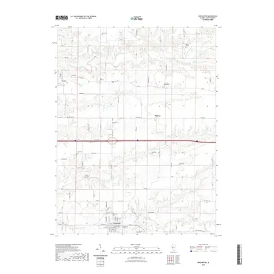
2021 Map of Winchester
USGS Topo · Published 2021About this map
Winchester serves as the seat of Scott County, anchored by the Scott County Courthouse and a dense network of local streets including S Main St and W Cherry St. The surrounding landscape is defined by the drainage systems of Mauvaise Terre Creek in the north and Big Sandy Creek to the south, which have historically shaped the agricultural layout of the region. This 2021 survey reveals a territory deeply connected to its ancestral roots, evidenced by the high density of family and community burial grounds such as Berry Farm Cem, Parks Robinson Cem, and Gillham Cem. The map illustrates the contemporary infrastructure including the Great Scott Ln corridor while preserving the locations of smaller settlements like Merritt, Riggston, and Exeter. The presence of the Young E S school and Winchester Cem further highlights the area's established community centers.
Find a feature on this map
81 named features on this map. Tap any name to fly to it.
Don’t see what you’re looking for? This feature index may not catch every label — zoom into the map to look around manually.
Map Details
Editions of this 2021 Winchester Map
This is the sole edition of this map. No revisions or reprints were ever made.
Other maps of this area

1924 · Winchester
USGS Topo · 1:48,000

1924 · Griggsville
USGS Topo · 1:62,500

1926 · Griggsville
USGS Topo · 1:62,500

1926 · Winchester
USGS Topo · 1:62,500

1928 · Meredosia
USGS Topo · 1:62,500

1929 · Arenzville
USGS Topo · 1:62,500

1931 · Meredosia
USGS Topo · 1:62,500

1932 · Arenzville
USGS Topo · 1:62,500

1948 · Quincy
USGS Topo · 1:250,000

1956 · Quincy
USGS Topo · 1:250,000