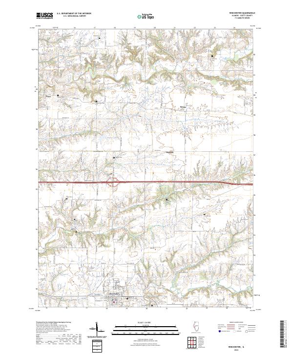
2024 Map of Winchester
USGS Topo · Published 2024About this map
Winchester serves as the focal point for this survey of Scott County, anchored by the Scott County Courthouse in the southern portion of the sheet. The landscape reflects a well-established rural settlement pattern where agricultural land is segmented by a grid of named routes like Phillips Ferry Rd and Old US Hwy 36. Smaller population centers such as Exeter, Merritt, and Riggston are connected by these historical corridors, which often follow the undulating contours of the local drainage basins.
Find a feature on this map
66 named features on this map. Tap any name to fly to it.
Don’t see what you’re looking for? This feature index may not catch every label — zoom into the map to look around manually.
Map Details
Editions of this 2024 Winchester Map
This is the sole edition of this map. No revisions or reprints were ever made.
Other maps of this area

1924 · Winchester
USGS Topo · 1:48,000

1924 · Griggsville
USGS Topo · 1:62,500

1926 · Griggsville
USGS Topo · 1:62,500

1926 · Winchester
USGS Topo · 1:62,500

1928 · Meredosia
USGS Topo · 1:62,500

1929 · Arenzville
USGS Topo · 1:62,500

1931 · Meredosia
USGS Topo · 1:62,500

1932 · Arenzville
USGS Topo · 1:62,500

1948 · Quincy
USGS Topo · 1:250,000

1956 · Quincy
USGS Topo · 1:250,000