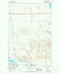
1966 Map of Winchester SW
USGS Topo · Published 1967About this map
Sand Dunes dominate this mid-1960s landscape in Grant County, illustrating the complex irrigation and water management infrastructure of the Columbia Basin Project. The map reveals the intricate path of the Winchester Wasteway and the Frenchman Hills Wasteway, essential components of the regional drainage system designed by the U.S. Bureau of Reclamation. These artificial waterways carve through the terrain, which is defined by the prominent Frenchman Hills and scattered dunes. Small-scale engineering details are meticulously recorded, including a Siphon along the northern 4-lane roadway and a Gaging Station to the south. While largely uninhabited, the survey identifies several wells and a notable Deserted site, providing specific points of interest for researchers studying the mid-century agricultural development and reclamation history of Central Washington.
Find a feature on this map
21 named features on this map. Tap any name to fly to it.
Don’t see what you’re looking for? This feature index may not catch every label — zoom into the map to look around manually.
Map Details
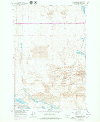
Editions of this 1966 Winchester SW Map
2 editions found
Other maps of this area

1909 · Quincy
USGS Topo · 1:62,500

1910 · Quincy
USGS Topo · 1:62,500

1910 · Winchester
USGS Topo · 1:62,500

1911 · Red Rock
USGS Topo · 1:62,500

1912 · Beverly
USGS Topo · 1:62,500

1950 · Smyrna
USGS Topo · 1:62,500

1951 · Smyrna
USGS Topo · 1:62,500

1953 · Walla Walla
USGS Topo · 1:250,000

1953 · Ritzville
USGS Topo · 1:250,000

1954 · Beverly NE
USGS Topo · 1:24,000