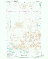
1966 Map of Winchester SW
USGS Topo · Published 1979About this map
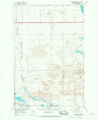
Sand dunes dominate the arid landscape of central Washington in this mid-1960s study, revealing a complex network of irrigation and drainage infrastructure. The Frenchman Hills rise in the southern portion of the map, skirted by the Frenchman Hills Wasteway. These artificial channels, including the Winchester Wasteway, represent the critical water management systems of the Columbia Basin Project, which transformed this high desert into productive land.
Find a feature on this map
14 named features on this map. Tap any name to fly to it.
Don’t see what you’re looking for? This feature index may not catch every label — zoom into the map to look around manually.
Map Details
Editions of this 1966 Winchester SW Map
2 editions found
Other maps of this area

1909 · Quincy
USGS Topo · 1:62,500

1910 · Quincy
USGS Topo · 1:62,500

1910 · Winchester
USGS Topo · 1:62,500

1911 · Red Rock
USGS Topo · 1:62,500

1912 · Beverly
USGS Topo · 1:62,500

1950 · Smyrna
USGS Topo · 1:62,500

1951 · Smyrna
USGS Topo · 1:62,500

1953 · Walla Walla
USGS Topo · 1:250,000

1953 · Ritzville
USGS Topo · 1:250,000

1954 · Beverly NE
USGS Topo · 1:24,000